- Retrait gratuit dans votre magasin Club
- 7.000.000 titres dans notre catalogue
- Payer en toute sécurité
- Toujours un magasin près de chez vous
- Retrait gratuit dans votre magasin Club
- 7.000.0000 titres dans notre catalogue
- Payer en toute sécurité
- Toujours un magasin près de chez vous
381,95 €
+ 763 points
Format
Description
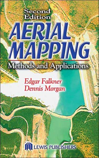
The juxtaposed technologies of photogrammetry, image analysis, and remote sensing have become so dynamically intertwined and progressive that an easy-to-use, up-to-date resource is sorely needed. High-speed computers, scanners, and remote sensors constantly change the way mapping is done. The second edition of a bestseller, Aerial Mapping: Methods and Applications provides coverage of basic principles with updated illustrations. It highlights the significant changes in the equipment and techniques of aerial photography and photogrammetric mapping. Additional information includes other sensor technology and their respective uses in digital data capture.
Spécifications
Parties prenantes
- Auteur(s) :
- Editeur:
Contenu
- Nombre de pages :
- 216
- Langue:
- Anglais
- Collection :
Caractéristiques
- EAN:
- 9781566705578
- Date de parution :
- 13-11-01
- Format:
- Livre relié
- Format numérique:
- Genaaid
- Dimensions :
- 137 mm x 299 mm
- Poids :
- 476 g

Les avis
Nous publions uniquement les avis qui respectent les conditions requises. Consultez nos conditions pour les avis.


