- Retrait gratuit dans votre magasin Club
- 7.000.000 titres dans notre catalogue
- Payer en toute sécurité
- Toujours un magasin près de chez vous
- Retrait gratuit dans votre magasin Club
- 7.000.0000 titres dans notre catalogue
- Payer en toute sécurité
- Toujours un magasin près de chez vous
Description
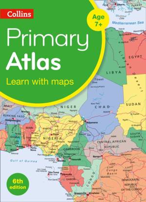
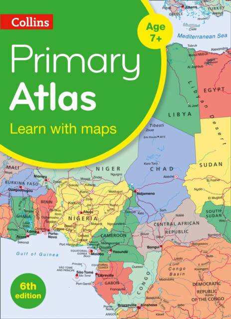
Bag the perfect KS2 Atlas this Back to School A curriculum-supportive Primary Atlas for children aged 7-11 years (Key Stage 2). Designed for use in the classroom or at home, this revised edition includes informative politically coloured reference mapping of all major world regions and relevant topics.
Spécifications
Parties prenantes
- Auteur(s) :
- Editeur:
Contenu
- Nombre de pages :
- 68
- Collection :
Caractéristiques
- EAN:
- 9780008319458
- Date de parution :
- 10-01-19
- Format:
- Livre broché
- Dimensions :
- 311 mm x 226 mm
- Poids :
- 280 g

Les avis
Nous publions uniquement les avis qui respectent les conditions requises. Consultez nos conditions pour les avis.


