- Retrait gratuit dans votre magasin Club
- 7.000.000 titres dans notre catalogue
- Payer en toute sécurité
- Toujours un magasin près de chez vous
- Retrait gratuit dans votre magasin Club
- 7.000.0000 titres dans notre catalogue
- Payer en toute sécurité
- Toujours un magasin près de chez vous
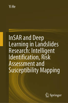
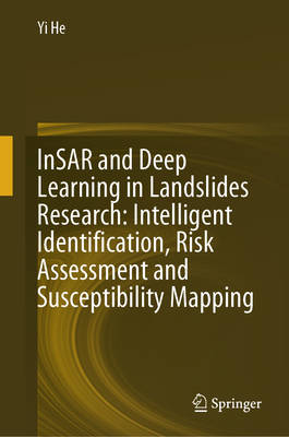
Insar and Deep Learning in Landslides Research: Intelligent Identification, Risk Assessment and Susceptibility Mapping
Yi He
Livre relié | Anglais
274,95 €
+ 549 points
Description
This book combines remote sensing and deep learning technology to develop a variety of models in the study of different type landslides in a wide range of areas including northwest, southwest and southern China. It explores the application of various deep learning methods in landslide identification and sensitivity mapping. It also explores intelligent landslide monitoring and susceptibility mapping using a variety of data and methods, providing ideas and methods for landslide prevention and mitigation. This book is suitable for professionals in the field of landslide monitoring and graduate students in the fields of remote sensing and geological hazards research to mitigate this most widespread and harmful geological hazards in the world.
Les avis
Nous publions uniquement les avis qui respectent les conditions requises. Consultez nos conditions pour les avis.


