- Retrait gratuit dans votre magasin Club
- 7.000.000 titres dans notre catalogue
- Payer en toute sécurité
- Toujours un magasin près de chez vous
- Retrait gratuit dans votre magasin Club
- 7.000.0000 titres dans notre catalogue
- Payer en toute sécurité
- Toujours un magasin près de chez vous
Description
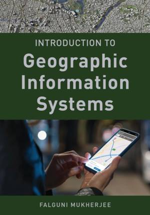
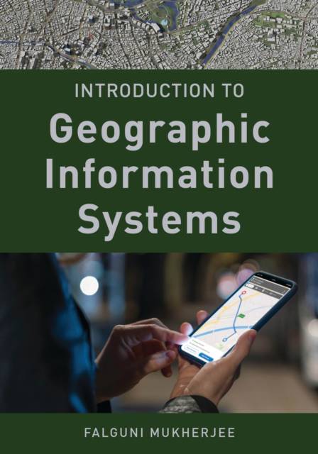
Geographic information systems (GIS) is a rapidly advancing field that has become thoroughly integrated into our society and inseparable from our daily lives. Today, GIS is used by professionals in many different disciplines and fields, such as public health, disaster management, law enforcement, environmental management, resource allocation, forestry, geology, and more. In this full-color textbook, author Falguni Mukherjee equips students with GIS and spatial thinking skills applicable to this wide range of disciplines and fields, preparing them for success in countless professions.
This comprehensive, grounded introduction to the basics of geographic information systems and science is written in a clear and accessible style, making the complex and sophisticated field of GIS and spatial thinking comprehensible for beginners. Up-to-date with current GIS trends and incorporating exercises using a number of GIS software, Mukherjee covers a wide array of topics, including the history of GIS, geospatial data models and analysis, projections and coordinate systems, database management systems, cartography, ethics in GIS, GIS project management principles, GIS and society, and digital transformation.
Features of this exciting, brand-new text include:
Chapter opening learning objectives to guide students' course goalsHelpful study aids such as key terms-bolded in the text and compiled both at the end of each chapter and in a comprehensive glossaryEnd-of-chapter questions and activities utilizing GIS software to promote active learning and build useful skillsA stunning full-color art program, with detailed maps, figures, tables, and photos, to engage students as visual learners
Spécifications
Parties prenantes
- Auteur(s) :
- Editeur:
Contenu
- Nombre de pages :
- 268
- Langue:
- Anglais
- Collection :
Caractéristiques
- EAN:
- 9781538152003
- Date de parution :
- 03-01-25
- Format:
- Livre relié
- Format numérique:
- Genaaid
- Dimensions :
- 180 mm x 257 mm
- Poids :
- 771 g

Les avis
Nous publions uniquement les avis qui respectent les conditions requises. Consultez nos conditions pour les avis.


