
- Retrait gratuit dans votre magasin Club
- 7.000.000 titres dans notre catalogue
- Payer en toute sécurité
- Toujours un magasin près de chez vous
- Retrait gratuit dans votre magasin Club
- 7.000.0000 titres dans notre catalogue
- Payer en toute sécurité
- Toujours un magasin près de chez vous


Description
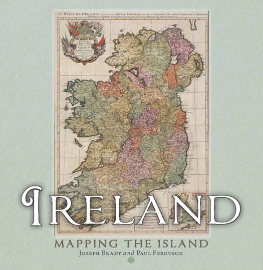
Maps allow us to see how the world is organised spatially and show us relationships which cannot be understood from simply reading a text. This magnificent book highlights a vast selection of maps that range across the centuries and cover every part of the island, shedding light on the history and development of Ireland. The themes are many and varied, from conquest and colonisation, the management of the landscape, natural resources, meeting the needs of tourists, transport, the growth of urban centres as well as exploring how others saw Ireland, and much more besides. Carefully selected by two noted map experts, this highly visual book tells the story of Ireland in a unique and stimulating way.
Spécifications
Parties prenantes
- Auteur(s) :
- Editeur:
Contenu
- Nombre de pages :
- 272
- Langue:
- Anglais
Caractéristiques
- EAN:
- 9781780279640
- Date de parution :
- 02-12-25
- Format:
- Livre relié
- Format numérique:
- Genaaid
- Dimensions :
- 246 mm x 250 mm
- Poids :
- 1736 g

Les avis
Nous publions uniquement les avis qui respectent les conditions requises. Consultez nos conditions pour les avis.