
- Retrait gratuit dans votre magasin Club
- 7.000.000 titres dans notre catalogue
- Payer en toute sécurité
- Toujours un magasin près de chez vous
- Retrait gratuit dans votre magasin Club
- 7.000.0000 titres dans notre catalogue
- Payer en toute sécurité
- Toujours un magasin près de chez vous


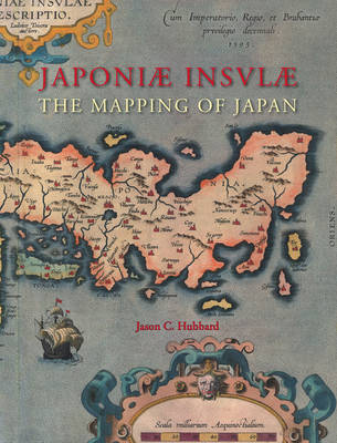

Japoniæ Insulæ the Mapping of Japan
A Historical Introduction and Cartobibliography of European Printed Maps of Japan Before 1800
Jason C Hubbard
438,45 €
+ 876 points
Description
Japoniæ insulæ The Mapping of Japan systematically categorizes and provides an overview of all the European printed maps of Japan published to 1800. The author has undertaken a review of the literature, conducted an exhaustive investigation in major libraries and private collections, analyzed these findings and then compiled information on 125 maps of Japan. The introduction contains information about the mapping to 1800, the typology of Japan by western cartographers, an overview on geographical names on early modern western maps of Japan and a presentation of the major cartographic models developed for this book.
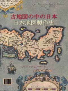
In English with Japanese summary.
In English with Japanese summary.
Spécifications
Parties prenantes
- Auteur(s) :
- Editeur:
Contenu
- Nombre de pages :
- 444
- Langue:
- Anglais
- Collection :
- Tome:
- n° 14
Caractéristiques
- EAN:
- 9789061945314
- Date de parution :
- 01-01-12
- Format:
- Livre relié
- Format numérique:
- Genaaid
- Dimensions :
- 251 mm x 320 mm
- Poids :
- 2621 g


Les avis
Nous publions uniquement les avis qui respectent les conditions requises. Consultez nos conditions pour les avis.