
- Retrait gratuit dans votre magasin Club
- 7.000.000 titres dans notre catalogue
- Payer en toute sécurité
- Toujours un magasin près de chez vous
- Retrait gratuit dans votre magasin Club
- 7.000.0000 titres dans notre catalogue
- Payer en toute sécurité
- Toujours un magasin près de chez vous


18,95 €
+ 37 points
Description
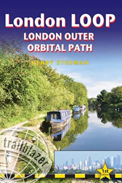
The London LOOP - London Outer Orbital Path - is a 1503/4 -mile (242.6km) circuit of the country's capital. It was largely the brainchild of an organisation called the London Walking Forum, which was formed in the early 1990s to encourage people to visit and take advantage of the many green spaces in the capital. They created a walk that followed, roughly, the outskirts of Greater London - and the LOOP was born. The official start is at Erith and the end at Purfleet-on-Thames. Although it does stray into some of the home counties, the trail does, however, stay within the M25 and by-and-large sticks to the 'Metropolitan Green Belt' - that buffer zone of green, largely undeveloped land that encircles the city. New title - covers the complete circuit but also ideal for London-based day walks New style trail maps and text colour All-in-one guide - Trailblazer guides include practical information not usually found in walking guides to the UK: reviews of places to stay, places to eat, attractions along the way and detailed public transport information showing all access points on the path, for day walkers. The largest scale walking maps available - At just under 1:20,000 (8cm or 3-1/8 inches to 1 mile) our maps (fully-edited and drawn by walkers for walkers) are bigger than even the most detailed walking maps currently available in shops or online.
Spécifications
Parties prenantes
- Auteur(s) :
- Editeur:
Contenu
- Nombre de pages :
- 240
- Langue:
- Anglais
- Collection :
Caractéristiques
- EAN:
- 9781912716210
- Date de parution :
- 07-09-21
- Format:
- Livre broché
- Format numérique:
- Trade paperback (VS)
- Dimensions :
- 124 mm x 182 mm
- Poids :
- 244 g

Les avis
Nous publions uniquement les avis qui respectent les conditions requises. Consultez nos conditions pour les avis.