- Retrait gratuit dans votre magasin Club
- 7.000.000 titres dans notre catalogue
- Payer en toute sécurité
- Toujours un magasin près de chez vous
- Retrait gratuit dans votre magasin Club
- 7.000.0000 titres dans notre catalogue
- Payer en toute sécurité
- Toujours un magasin près de chez vous
Description
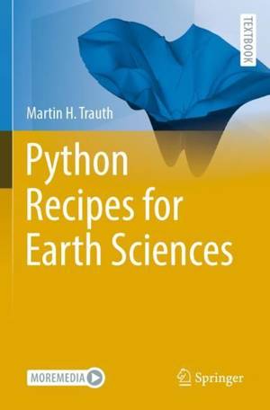
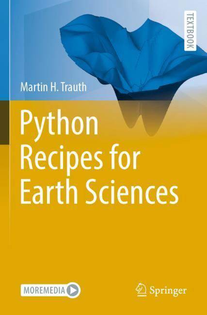
Python is used in a wide range of geoscientific applications, such as in processing images for remote sensing, in generating and processing digital elevation models, and in analyzing time series. This book introduces methods of data analysis in the geosciences using Python that include basic statistics for univariate, bivariate, and multivariate data sets, time series analysis, and signal processing; the analysis of spatial and directional data; and image analysis. The text includes numerous examples that demonstrate how Python can be used on data sets from the earth sciences. The supplementary electronic material (available online through Springer Link) contains the example data as well as recipes that include all the Python commands featured in the book.
Spécifications
Parties prenantes
- Auteur(s) :
- Editeur:
Contenu
- Nombre de pages :
- 453
- Langue:
- Anglais
- Collection :
Caractéristiques
- EAN:
- 9783031077210
- Date de parution :
- 02-10-23
- Format:
- Livre broché
- Format numérique:
- Trade paperback (VS)
- Dimensions :
- 155 mm x 235 mm
- Poids :
- 836 g

Les avis
Nous publions uniquement les avis qui respectent les conditions requises. Consultez nos conditions pour les avis.


