- Retrait gratuit dans votre magasin Club
- 7.000.000 titres dans notre catalogue
- Payer en toute sécurité
- Toujours un magasin près de chez vous
- Retrait gratuit dans votre magasin Club
- 7.000.0000 titres dans notre catalogue
- Payer en toute sécurité
- Toujours un magasin près de chez vous
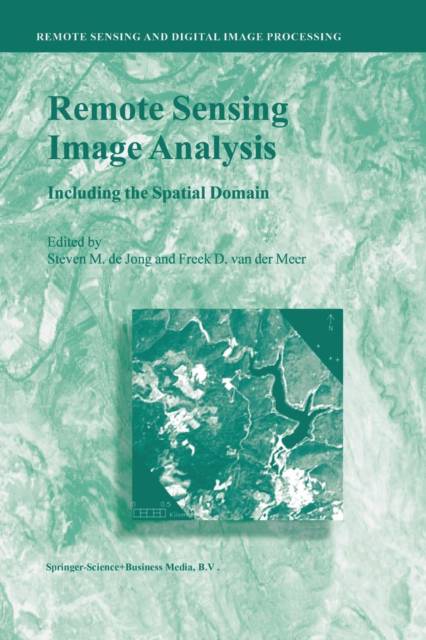
Remote Sensing Image Analysis: Including the Spatial Domain
Description
Remote Sensing image analysis is mostly done using only spectral information on a pixel by pixel basis. Information captured in neighbouring cells, or information about patterns surrounding the pixel of interest often provides useful supplementary information. This book presents a wide range of innovative and advanced image processing methods for including spatial information, captured by neighbouring pixels in remotely sensed images, to improve image interpretation or image classification. Presented methods include different types of variogram analysis, various methods for texture quantification, smart kernel operators, pattern recognition techniques, image segmentation methods, sub-pixel methods, wavelets and advanced spectral mixture analysis techniques. Apart from explaining the working methods in detail a wide range of applications is presented covering land cover and land use mapping, environmental applications such as heavy metal pollution, urban mapping and geological applications to detect hydrocarbon seeps.
The book is meant for professionals, PhD students and graduates who use remote sensing image analysis, image interpretation and image classification in their work related to disciplines such as geography, geology, botany, ecology, forestry, cartography, soil science, engineering and urban and regional planning.
Spécifications
Parties prenantes
- Editeur:
Contenu
- Nombre de pages :
- 359
- Langue:
- Anglais
- Collection :
- Tome:
- n° 5
Caractéristiques
- EAN:
- 9789401740616
- Date de parution :
- 13-11-13
- Format:
- Livre broché
- Format numérique:
- Trade paperback (VS)
- Dimensions :
- 156 mm x 234 mm
- Poids :
- 526 g

Les avis
Nous publions uniquement les avis qui respectent les conditions requises. Consultez nos conditions pour les avis.


