- Retrait gratuit dans votre magasin Club
- 7.000.000 titres dans notre catalogue
- Payer en toute sécurité
- Toujours un magasin près de chez vous
- Retrait gratuit dans votre magasin Club
- 7.000.0000 titres dans notre catalogue
- Payer en toute sécurité
- Toujours un magasin près de chez vous
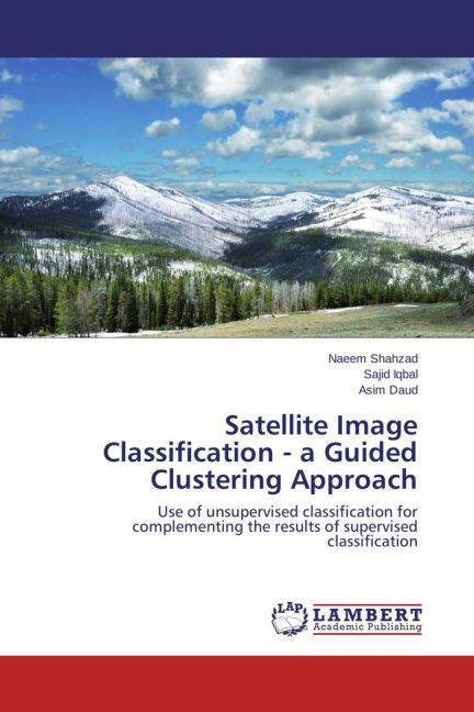
Satellite Image Classification - a Guided Clustering Approach
Use of unsupervised classification for complementing the results of supervised classification
Naeem Shahzad, Sajid Iqbal, Asim Daud
Livre broché | Anglais
48,95 €
+ 97 points
Description
In supervised classification of remotely sensed imagery the analysts require a plenty of time for generating the representative signatures of the possible land-cover classes present in the image. Although the notion of picking a large number of input signatures leads to more efficient results but in most of the situations the time is an important factor. To save the lavish time, besides to obtain the reliable results, is the requirement of most of the analysts. In this study the results of supervised classification are used as reference for checking the reliability of the results obtained with guided clustering technique as this technique is based on ground truth data and the ancillary information.
Spécifications
Parties prenantes
- Auteur(s) :
- Editeur:
Contenu
- Nombre de pages :
- 52
- Langue:
- Anglais
Caractéristiques
- EAN:
- 9783659454936
- Date de parution :
- 18-10-13
- Format:
- Livre broché
- Dimensions :
- 150 mm x 220 mm
- Poids :
- 94 g

Les avis
Nous publions uniquement les avis qui respectent les conditions requises. Consultez nos conditions pour les avis.


