
- Retrait gratuit dans votre magasin Club
- 7.000.000 titres dans notre catalogue
- Payer en toute sécurité
- Toujours un magasin près de chez vous
- Retrait gratuit dans votre magasin Club
- 7.000.0000 titres dans notre catalogue
- Payer en toute sécurité
- Toujours un magasin près de chez vous


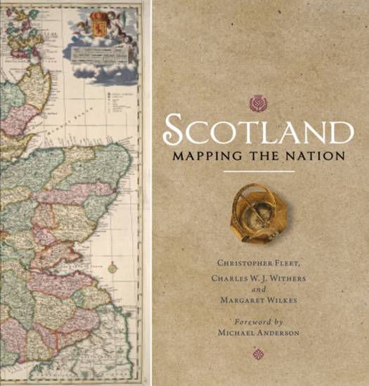
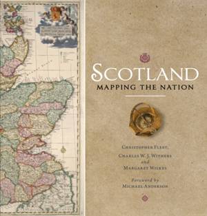
Scotland: Mapping the Nation
Christopher Fleet, Margaret Wilkes, Charles W J Withers
Livre relié | Anglais
48,95 €
+ 97 points
Description
Winner of the Saltire Society Research Book of the Year
Whilst documents and other written material are obvious resources that help shape our view of the past, maps too can say much about a nation's history. This is the first book to take maps seriously as a form of history, from the earliest representations of Scotland by Ptolemy in the second century AD to the most recent form of Scotland's mapping and geographical representation in GIS, satellite imagery and SATNAV.
Compiled by three experts who have spent their lives working with maps, Scotland: Mapping the Nation offers a fascinating and thought-provoking perspective on Scottish history which is beautifully illustrated with complete facsimiles and details of hundreds of the most significant manuscript and printed maps from the National Library of Scotland and other institutions, including those by Timothy Pont, Joan Blaeu and William Roy, amongst many others.
Spécifications
Parties prenantes
- Auteur(s) :
- Editeur:
Contenu
- Nombre de pages :
- 336
- Langue:
- Anglais
Caractéristiques
- EAN:
- 9781780274836
- Date de parution :
- 26-12-17
- Format:
- Livre relié
- Format numérique:
- Genaaid
- Dimensions :
- 257 mm x 251 mm
- Poids :
- 2036 g

Les avis
Nous publions uniquement les avis qui respectent les conditions requises. Consultez nos conditions pour les avis.