- Retrait gratuit dans votre magasin Club
- 7.000.000 titres dans notre catalogue
- Payer en toute sécurité
- Toujours un magasin près de chez vous
- Retrait gratuit dans votre magasin Club
- 7.000.0000 titres dans notre catalogue
- Payer en toute sécurité
- Toujours un magasin près de chez vous
Description
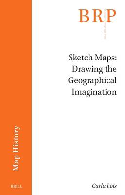
Sketch maps, despite their intuitive, informal appearance and seemingly naïve use, are intellectual devices and efficient tools that shape the geographical imagination, regardless of the drawing skills of their makers. By delineating the silhouettes of nations, we express territorial knowledge and geopolitical stereotypes that, although shaped at school from an early age, organized the way we interact with the world. why do we still need to draw maps? What is behind our common and naturalized practice of sketching maps? This innovative book deciphers why and how the intuitive mechanisms behind sketch mapping activate multiple conscious and unconscious knowledges about place and space.
Spécifications
Parties prenantes
- Auteur(s) :
- Editeur:
Contenu
- Nombre de pages :
- 120
- Langue:
- Anglais
- Collection :
Caractéristiques
- EAN:
- 9789004543676
- Date de parution :
- 24-05-23
- Format:
- Livre broché
- Format numérique:
- Trade paperback (VS)
- Dimensions :
- 162 mm x 238 mm
- Poids :
- 539 g

Les avis
Nous publions uniquement les avis qui respectent les conditions requises. Consultez nos conditions pour les avis.


