- Retrait gratuit dans votre magasin Club
- 7.000.000 titres dans notre catalogue
- Payer en toute sécurité
- Toujours un magasin près de chez vous
- Retrait gratuit dans votre magasin Club
- 7.000.0000 titres dans notre catalogue
- Payer en toute sécurité
- Toujours un magasin près de chez vous
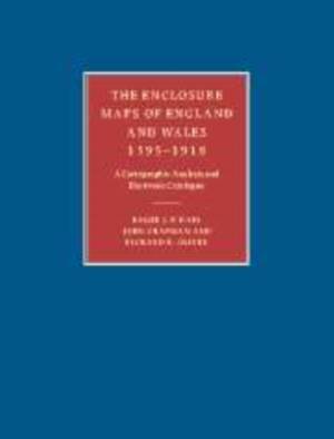
The Enclosure Maps of England and Wales 1595-1918
A Cartographic Analysis and Electronic Catalogue
Roger J P Kain, John Chapman, Richard R Oliver
Livre broché | Anglais
133,95 €
+ 267 points
Description
Offering a comprehensive study of the enclosure mapping of England and Wales, the authors assess the processes of land enclosure and the role of maps (the mapping of each county and the cartographic characteristics of all the maps). Accompanied by an electronic catalog of all extant parliamentary and non-parliamentary enclosure maps of England and Wales, this book will be an essential research tool for economic, social and local historians as well as geographers, lawyers and planners.
Spécifications
Parties prenantes
- Auteur(s) :
- Editeur:
Contenu
- Nombre de pages :
- 436
- Langue:
- Anglais
Caractéristiques
- EAN:
- 9780521173230
- Date de parution :
- 28-04-11
- Format:
- Livre broché
- Format numérique:
- Trade paperback (VS)
- Dimensions :
- 189 mm x 246 mm
- Poids :
- 775 g

Les avis
Nous publions uniquement les avis qui respectent les conditions requises. Consultez nos conditions pour les avis.


