- Retrait gratuit dans votre magasin Club
- 7.000.000 titres dans notre catalogue
- Payer en toute sécurité
- Toujours un magasin près de chez vous
- Retrait gratuit dans votre magasin Club
- 7.000.0000 titres dans notre catalogue
- Payer en toute sécurité
- Toujours un magasin près de chez vous
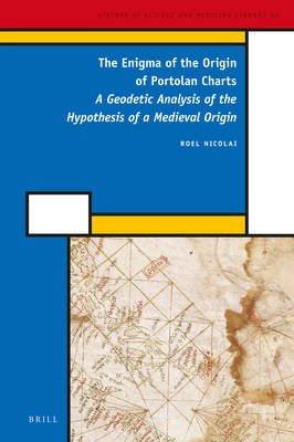
The Enigma of the Origin of Portolan Charts
A Geodetic Analysis of the Hypothesis of a Medieval Origin
Roel Nicolai
349,95 €
+ 699 points
Description
The sudden appearance of portolan charts, realistic nautical charts of the Mediterranean and Black Sea, at the end of the thirteenth century is one of the most significant occurrences in the history of cartography. Using geodetic and statistical analysis techniques these charts are shown to be mosaics of partial charts that are considerably more accurate than has been assumed. Their accuracy exceeds medieval mapping capabilities. These sub-charts show a remarkably good agreement with the Mercator map projection. It is demonstrated that this map projection can only have been an intentional feature of the charts' construction. Through geodetic analysis the author eliminates the possibility that the charts are original products of a medieval Mediterranean nautical culture, which until now they have been widely believed to be.
Spécifications
Parties prenantes
- Auteur(s) :
- Editeur:
Contenu
- Nombre de pages :
- 570
- Langue:
- Anglais
- Collection :
- Tome:
- n° 52
Caractéristiques
- EAN:
- 9789004282971
- Date de parution :
- 19-05-16
- Format:
- Livre relié
- Format numérique:
- Genaaid
- Dimensions :
- 155 mm x 231 mm
- Poids :
- 929 g

Les avis
Nous publions uniquement les avis qui respectent les conditions requises. Consultez nos conditions pour les avis.


