
- Retrait gratuit dans votre magasin Club
- 7.000.000 titres dans notre catalogue
- Payer en toute sécurité
- Toujours un magasin près de chez vous
- Retrait gratuit dans votre magasin Club
- 7.000.0000 titres dans notre catalogue
- Payer en toute sécurité
- Toujours un magasin près de chez vous


19,95 €
+ 39 points
Description
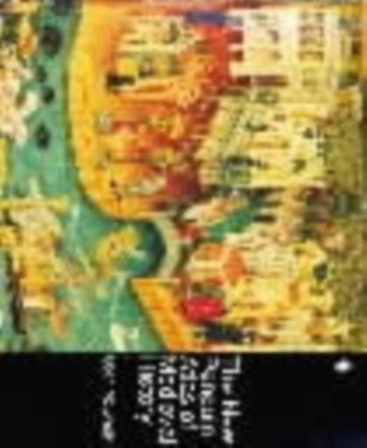
An illustrated guide to medieval history from the fourth to the fifteenth centuries Revised and expanded, this atlas provides an overview of the Middle Ages in the Mediterranean, Europe, and the East, including the steppeland of the Huns, Turks, and Mongols. Detailed maps and illustrations outline the towns and trade routes, the changing population patterns, the boundaries of Christendom (and later Islam) and the shifting political units. Ideal for both students and the general reader, this atlas plots the major geographical and social shifts that impacted medieval Europe.
Spécifications
Parties prenantes
- Auteur(s) :
- Editeur:
Contenu
- Nombre de pages :
- 112
- Langue:
- Anglais
- Collection :
Caractéristiques
- EAN:
- 9780140512496
- Date de parution :
- 30-07-92
- Format:
- Livre broché
- Format numérique:
- Trade paperback (VS)
- Dimensions :
- 182 mm x 220 mm
- Poids :
- 253 g


Les avis
Nous publions uniquement les avis qui respectent les conditions requises. Consultez nos conditions pour les avis.