
- Retrait gratuit dans votre magasin Club
- 7.000.000 titres dans notre catalogue
- Payer en toute sécurité
- Toujours un magasin près de chez vous
- Retrait gratuit dans votre magasin Club
- 7.000.0000 titres dans notre catalogue
- Payer en toute sécurité
- Toujours un magasin près de chez vous


-
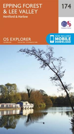
Epping Forest / Lee Valley
- Map sheet number 174 in the OS Explorer series covers Epping Forest and the area to the North East of London. The map area covered includes Hertford a... Savoir plus
18,50 €Livraison 1 à 2 semaines18,50 €Livraison 1 à 2 semaines -

Stroud / Tetbury / Malmesbury
- Map sheet number 168 in the OS Explorer series covers Stroud, Tetbury, Malmesbury, and Nailsworth. Highlights of the area include: Cotswolds AONB, Cot... Savoir plus
18,50 €Livraison 1 à 2 semaines18,50 €Livraison 1 à 2 semaines -
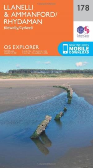
Llanelli / Ammanford / Rhydaman
- Map sheet number 178 covers Llanelli, Ammanford and Kidwelly. Highlights include Brecon Beacons National Park. Also includes Lliedi Resr, Gorseinon, B... Savoir plus
18,50 €Livraison 1 à 2 semaines18,50 €Livraison 1 à 2 semaines -

Snowdon / Conwy Valley / Dyffryn Conwy
- Map sheet number OL17 in the OS Explorer map series is the ideal map for exploring the mountain scenery in Snowdon. This area, famous for its fantasti... Savoir plus
18,50 €Livraison 1 à 2 semaines18,50 €Livraison 1 à 2 semaines -
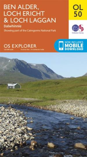
Ben Alder / Loch Ericht / Laggan
- OS Explorer map OL 50 shows Loch Ericht, Loch Laggan and 16 of the surrounding Munros, as well as part of the Cairngorms National Park. This map repla... Savoir plus
18,50 €Livraison 1 à 2 semaines18,50 €Livraison 1 à 2 semaines -
Llandovery
- OS Explorer map sheet 187 shows Claerwen Resevior to Tywi Forest and Llandovery. Savoir plus
18,50 €Livraison 1 à 2 semaines18,50 €Livraison 1 à 2 semaines -
Loch Lomond South / Dumbarton
- Map sheet number OL 38 covers Loch Lomond South, Helensburgh and Dumbarton. Highlights include the Loch Lomond and The Trossarchs National Park and th... Savoir plus
18,50 €Livraison 1 à 2 semaines18,50 €Livraison 1 à 2 semaines -
Lochindorb / Grantown-on-Spey
- Showing the north-western area of Cairngorms National Park, plus Strathdearn and the River Findhorn, OS Explorer map OL 60 is the perfect companies fo... Savoir plus
18,50 €Livraison 1 à 2 semaines18,50 €Livraison 1 à 2 semaines -

Leicester / Hinckley
- OS Explorer Map 233 covers Hinckley, Leicester and the surrounding towns and villages. Savoir plus
18,50 €Livraison 1 à 2 semaines18,50 €Livraison 1 à 2 semaines -

Cerne Abbas / Bere Regs
- Taking in Bere Regis, Blanford Forum, Cerne Abbas and Beaminster this map provides coverage of some of Dorset classed as an Area of Outstanding Natura... Savoir plus
18,50 €Livraison 1 à 2 semaines18,50 €Livraison 1 à 2 semaines -
Banbury / Bicester / Chipping Norton
- Map sheet number 191 in the OS Explorer series covers a section of the Cotswolds and the Macmillan Way and Wychwood Way Recreational Paths. Savoir plus
18,50 €Livraison 1 à 2 semaines18,50 €Livraison 1 à 2 semaines -
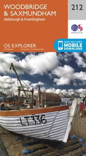
Woodbridge / Saxmundham
- Map sheet number 212 in the OS Explorer series covers Saxmundham, Woodbridge, Aldeburgh, Framlingham and Leiston. Highlights of the area include: Alde... Savoir plus
18,50 €Livraison 1 à 2 semaines18,50 €Livraison 1 à 2 semaines -

Ben hope / Ben Loyal / Kyle of Tongue
- Ben hope / Ben Loyal / Kyle of Tongue exp 447 Savoir plus
18,50 €Livraison 1 à 2 semaines18,50 €Livraison 1 à 2 semaines -
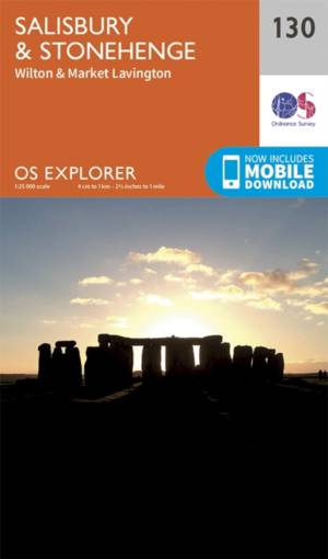
Salisbury / Stonehenge
- From Salisbury and Wilton in the south to Market Lavington and Pewsey in the north, Explorer map 130 provides coverage of parts of the North Wessex Do... Savoir plus
18,50 €Livraison 1 à 2 semaines18,50 €Livraison 1 à 2 semaines -

Land's End
- Map sheet number 102 in the OS Explorer map series is the perfect map for discovering the famous area around Land's End, Penzance and St Ives. The are... Savoir plus
18,50 €Livraison 1 à 2 semaines18,50 €Livraison 1 à 2 semaines -
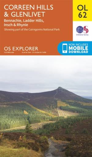
Correen Hills / Glenlivet / Bennachie
- Map sheet OL 62 covers Correen Hills and Glenlivet. Highlights include Cairngorms National Park, Gordon Way and Badingair Hill. Also includes Water of... Savoir plus
18,50 €Livraison 1 à 2 semaines18,50 €Livraison 1 à 2 semaines -
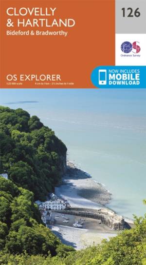
Clovelly / Hartland
- Map sheet number 126 in the OS Explorer series covers Clovelly, Bideford, Hartland, Bradworthy and Great Torrington. Highlights of the area include: N... Savoir plus
18,50 €Livraison 1 à 2 semaines18,50 €Livraison 1 à 2 semaines -
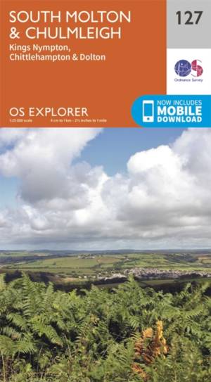
South Molton / Chulmleigh
- Map sheet number 127 in the OS Explorer map series is ideal for discovering North Devon. This area, just to the south of Exmoor National Park, offers ... Savoir plus
18,50 €Livraison 1 à 2 semaines18,50 €Livraison 1 à 2 semaines -
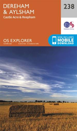
Dereham / Aylesham / Castle Acre / Reepham
- Map sheet number 238 covers Dereham and Aylsham. Highlights include Castle Acre and Reepham. Also includes Beetley, Taverham, Great Ryburgh, Lenwade a... Savoir plus
18,50 €Livraison 1 à 2 semaines18,50 €Livraison 1 à 2 semaines -

Norwich / Wymondham / Attleborough / Watton
- The capital of Norfolk, Norwich is a great base to explore the county. There are plenty of options for activities on OS Explorer map 237 for all the f... Savoir plus
18,50 €Livraison 1 à 2 semaines18,50 €Livraison 1 à 2 semaines -
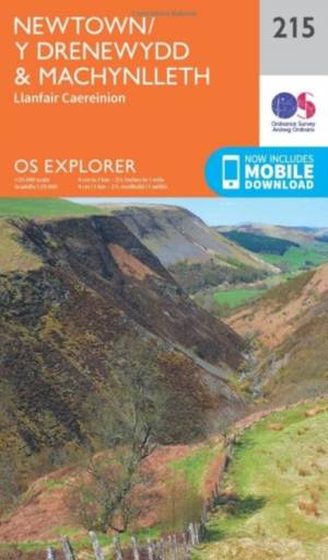
Newtown / Machynlleth
- OS Explorer Map sheet 215 is a double sided map covering from Machynlleth to Newtown (Y Drenewydd) and including part of Glyndwr's Way (Llwybr Glyndwr... Savoir plus
18,50 €Livraison 1 à 2 semaines18,50 €Livraison 1 à 2 semaines -

Cirencester / Swindon
- Map sheet number 169 in the OS Explorer series covers an area from Cirencester and Fairford with a section of the Cotswolds in the north, to the North... Savoir plus
18,50 €Livraison 1 à 2 semaines18,50 €Livraison 1 à 2 semaines -

Bideford / Ilfracombe / Barnstaple
- Map sheet number 139 in the OS Explorer series covers Ilfracombe, Bideford, Barnstaple, Westward Ho!, Woolacombe, and Lundy Island, and shows part of ... Savoir plus
18,50 €Livraison 1 à 2 semaines18,50 €Livraison 1 à 2 semaines -
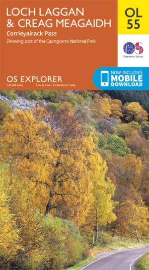
Loch Laggan / Creag Meagaidh / Corrieyairack
- OS Explorer map OL 55 covers Loch Laggan, part of the Cairngorms National Park, Corrieyairick Forest and six Munros. This map replaces the previous OS... Savoir plus
18,50 €Livraison 1 à 2 semaines18,50 €Livraison 1 à 2 semaines