
- Retrait gratuit dans votre magasin Club
- 7.000.000 titres dans notre catalogue
- Payer en toute sécurité
- Toujours un magasin près de chez vous
- Retrait gratuit dans votre magasin Club
- 7.000.0000 titres dans notre catalogue
- Payer en toute sécurité
- Toujours un magasin près de chez vous


-
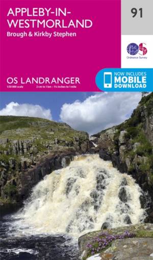
Appleby-in-Westmorland
- The Pennine Way and E2 European Long Distance Path along with the nearby Yorkshire Dales National Park feature on OS Landranger map 91, and attract wa... Savoir plus
18,50 €Livraison 1 à 2 semaines18,50 €Livraison 1 à 2 semaines -

Salisbury / The Plain
- Map sheet number 184 in the OS Landranger map series is perfect for planning days out in and around the Salisbury area. Wide open spaces are in abunda... Savoir plus
18,50 €Livraison 1 à 2 semaines18,50 €Livraison 1 à 2 semaines -

Nairn / Forres
- OS Landranger map 27 shows the Moray Firth, just east of Inverness. The Seaside town of Nairn is a popular holiday destination, or take the Moray Coas... Savoir plus
18,50 €Livraison 1 à 2 semaines18,50 €Livraison 1 à 2 semaines -

Chester / Wrexham
- Map number 117 in the OS Landranger map series covers an area from Llangollen in the south to Ellesmere Port in the north with Chester lying on the Ri... Savoir plus
18,50 €Livraison 1 à 2 semaines18,50 €Livraison 1 à 2 semaines -

Islay
- The island of Islay is covered by OS Landranger map 60, including the 'capital', Port Ellen. Savoir plus
18,50 €Livraison 1 à 2 semaines18,50 €Livraison 1 à 2 semaines -
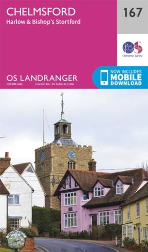
Chelmsford / Harlow
- Chelmsford is an accessible city in the heart of Essex. It has a bustling centre with plenty of shopping and dining facilities. Savoir plus
18,50 €Livraison 1 à 2 semaines18,50 €Livraison 1 à 2 semaines -
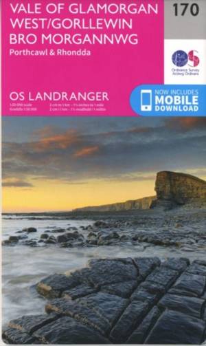
Vale of Glamorgan
- OS Landranger map 170 shows the Vale of Glamorgan in South Wales, and includes Porthcawl, Tonypandy, Pontypridd, Port Talbot and the Rhondda Valley. Savoir plus
18,50 €Livraison 1 à 2 semaines18,50 €Livraison 1 à 2 semaines -
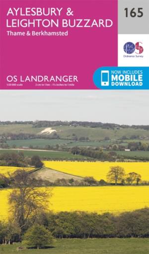
Aylesbury / Leighton Buzzard / Thame / Berkhamsted
- Landranger Map 165 covers Aylesbury, the county town of Buckinghamshire. Leighton Buzzard, Thame and Burkhamstead are located in close proximity. Savoir plus
18,50 €Livraison 1 à 2 semaines18,50 €Livraison 1 à 2 semaines -
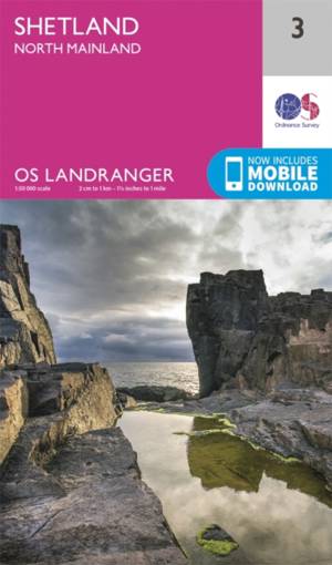
Shetland - North Mainland
- OS Landranger Map 3 toont het centrale gedeelte van het Shetland-vasteland, inclusief Muckle Roe, Papa Stour, Sullom Voe the Yell Sound. Savoir plus
18,50 €Livraison 1 à 2 semaines18,50 €Livraison 1 à 2 semaines -
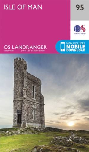
Isle of Man
- Map sheet number 95 in the OS Landranger map series is ideal for a trip to the Isle of Man and includes Douglas, Port Erin, Port St Mary, Castletown, ... Savoir plus
18,50 €Livraison 1 à 2 semaines18,50 €Livraison 1 à 2 semaines -
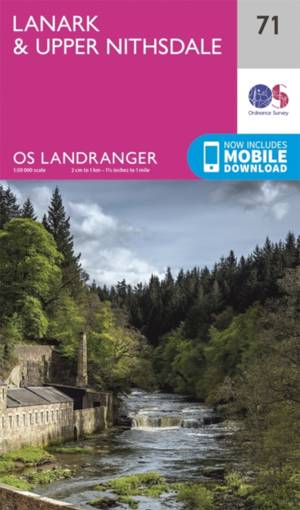
Lanark / Upper Nithsdale
- OS Landranger map 71 covers the Upper Nithsdale, the Tinto Hills and the towns of Lanark, Cumnock, Darvel and Kirkconnel. Savoir plus
18,50 €Livraison 1 à 2 semaines18,50 €Livraison 1 à 2 semaines -
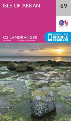
Isle of Arran
- The Isle of Arran nestles in the Firth of Cylde off the west coast of Scotland, and is the focus of OS Landranger map 69. Savoir plus
18,50 €Livraison 1 à 2 semaines18,50 €Livraison 1 à 2 semaines -

Reading / Windsor / Henley-on-Thames / Bracknell
- Landranger map number 175 shows Windsor, which offers you the chance to visit the Queen's favourite weekend home. It's almost 1000 years old, making i... Savoir plus
18,50 €Livraison 1 à 2 semaines18,50 €Livraison 1 à 2 semaines -

Oxford / Chipping Norton / Bicester
- Oxford provides for a cultural getaway due to it's world renowned university colleges, rich history and family days out. OS Landranger map 164 covers ... Savoir plus
18,50 €Livraison 1 à 2 semaines18,50 €Livraison 1 à 2 semaines -
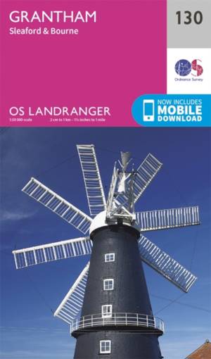
Grantham
- Grantham is an attractive red-brick town located 25 miles south of Lincoln - St Wulfram's Church spire is one of its dominating features. Savoir plus
18,50 €Livraison 1 à 2 semaines18,50 €Livraison 1 à 2 semaines -
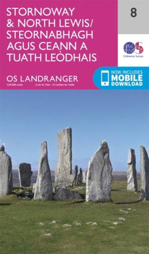
Stornoway / North Lewis
- OS Landranger map 8 covers Stornoway and North Lewis, It also includes Bac, Tunga, Arnol, Siadar, Beinn Dhail, Muirneag, Stacaiseal and Port Nis. Savoir plus
18,50 €Livraison 1 à 2 semaines18,50 €Livraison 1 à 2 semaines -

Presteigne / Hay-on-Wye
- OS Landranger map 148 covers Presteigne & Hay-on-Wye and also includes Norton, Glascwm, Kington, Weobly, Staunton on Wye, Leominster and parts of the ... Savoir plus
18,50 €Livraison 1 à 2 semaines18,50 €Livraison 1 à 2 semaines -

Cheltenham / Cirencester
- The Cotswold Way, Thames path and the E2 European Long Distance Path all cut through the region covered by OS Landranger map 163, making it a fantasti... Savoir plus
18,50 €Livraison 1 à 2 semaines18,50 €Livraison 1 à 2 semaines -

Bury St Edmunds / Sudbury / Stowmarket
- Situated in the heart of Suffolk, Bury St Edmunds is a charming town which hosts various festivals and events throughout the year. Savoir plus
18,50 €Livraison 1 à 2 semaines18,50 €Livraison 1 à 2 semaines -
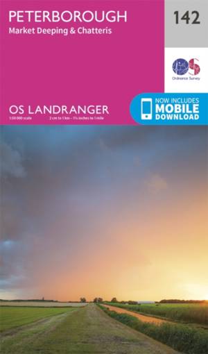
Peterborough / Market Deeping / Chatteris
- OS Landranger map 142 covers Peterborough and nearby towns of Market Deeping, Chatteris Ramsey, Whittlesey and March. Savoir plus
18,50 €Livraison 1 à 2 semaines18,50 €Livraison 1 à 2 semaines -

Anglesey / Ynys Môn
- Map sheet number 114 in the OS Landranger map series covers the rural Welsh island of Anglesey. It is surrounded by sandy beaches and rocky caves, wit... Savoir plus
18,50 €Livraison 1 à 2 semaines18,50 €Livraison 1 à 2 semaines -
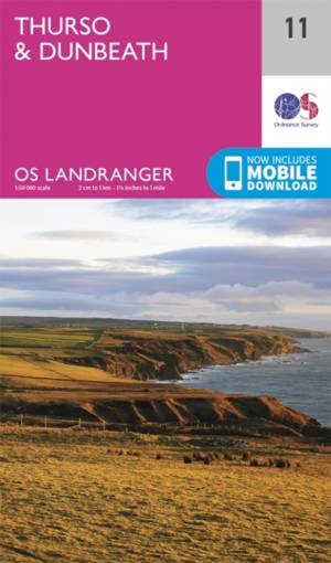
Thurso / Dunbeath
- OS Landranger map 11 covers the area just south of John O'Groats, and includes the towns of Thurso, Dunbeath, Lybster, Westerdale and Reay. Savoir plus
18,50 €Livraison 1 à 2 semaines18,50 €Livraison 1 à 2 semaines -

Beinn Dearg / Loch Broom (Ben Wyvis)
- OS Landranger map 20 covers the area north of the Highland towns of Acanalt, Grudie and Garve. Savoir plus
18,50 €Livraison 1 à 2 semaines18,50 €Livraison 1 à 2 semaines -
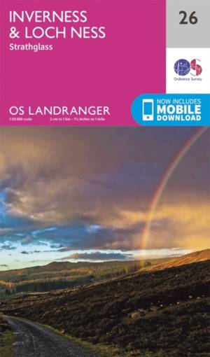
Inverness / Loch Ness
- Map sheet number 26 in the OS Landranger map series is the ideal map for planning days out and holidays in the North East of Scotland. Explore famous ... Savoir plus
18,50 €Livraison 1 à 2 semaines18,50 €Livraison 1 à 2 semaines