
- Retrait gratuit dans votre magasin Club
- 7.000.000 titres dans notre catalogue
- Payer en toute sécurité
- Toujours un magasin près de chez vous
- Retrait gratuit dans votre magasin Club
- 7.000.0000 titres dans notre catalogue
- Payer en toute sécurité
- Toujours un magasin près de chez vous


Livres écrits par Collins Maps

-
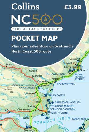
NC500 Pocket Map
- Explore new places with handy pocket maps from Collins. Handy little full colour map of the popular North Coast 500 route. A perfect guide for travell... Savoir plus
5,95 €Livraison 1 à 2 semaines5,95 €Livraison 1 à 2 semaines -
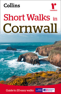
Short Walks in Cornwall
Collins Maps
- Livre broché | Anglais
- A practical guide to walks that can easily be completed in less that 3 hours This compact little guide contains 20 walks, all of which are five miles ... Savoir plus
9,95 €Livraison 1 à 2 semaines9,95 €Livraison 1 à 2 semaines -
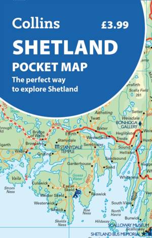
Shetland Pocket Map
- Handy little full colour map of Shetland. Savoir plus
5,95 €Pré-commander, disponible à partir du 09-04-20265,95 €Pré-commander, disponible à partir du 09-04-2026 -

2024 Collins Road Map of Ireland
- Discover new places with fully updated road atlases from Collins. Full-colour map of Ireland at 9 miles to 1 inch (1:570,240), with clear, detailed ro... Savoir plus
11,95 €Livraison 1 à 2 semaines11,95 €Livraison 1 à 2 semaines -
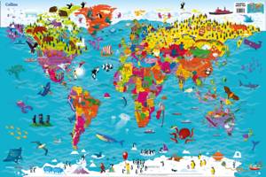
Collins Children's World Map
Collins Maps
- CD
- Colourful Illustrated Map of the World Savoir plus
6,95 €Livraison 1 à 2 semaines6,95 €Livraison 1 à 2 semaines -
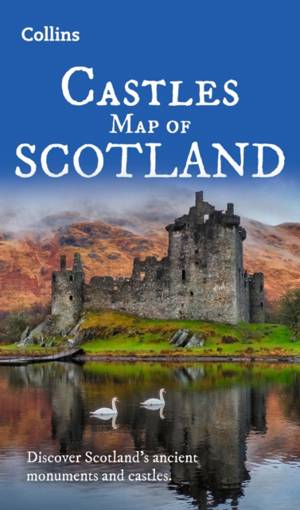
Castles Map of Scotland
- Discover Scotland's ancient monuments and castles. Explore Scotland’s ancient monuments with this pictorial map featuring over 700 castles and fortifi... Savoir plus
11,45 €Livraison 1 à 2 semaines11,45 €Livraison 1 à 2 semaines -
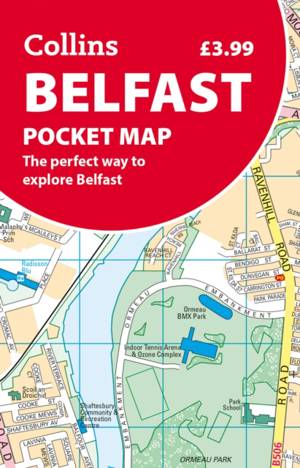
Belfast Pocket Map
- Discover new places in Belfast with this handy pocket map from Collins Savoir plus
5,95 €Livraison 1 à 2 semaines5,95 €Livraison 1 à 2 semaines -

Dublin Pocket Map
- Discover new places in Dublin with this handy pocket map from Collins. Savoir plus
5,95 €Livraison 1 à 2 semaines5,95 €Livraison 1 à 2 semaines -
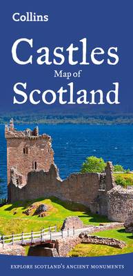
Castles Map of Scotland
- Explore Scotland's ancient monuments with this pictorial map featuring over 700 castles and fortified houses. Includes an easy-to-use index listing vi... Savoir plus
10,45 €Livraison 1 à 2 semaines10,45 €Livraison 1 à 2 semaines -
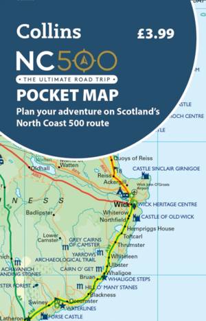
NC500 Pocket Map
- Explore new places with handy pocket maps from Collins. Handy little full colour map of the popular North Coast 500 route. A perfect guide for travell... Savoir plus
5,95 €Pré-commander, disponible à partir du 12-02-20265,95 €Pré-commander, disponible à partir du 12-02-2026 -
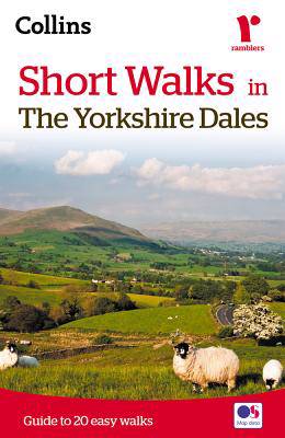
Short walks in the Yorkshire Dales
Collins Maps, Brian Spencer
- Livre broché
- The Yorkshire Dales with its picturesque dales, ancient farmhouses and villages offer some superb country walking.This can be explored with these 20 w... Savoir plus
9,95 €Livraison 1 à 2 semaines9,95 €Livraison 1 à 2 semaines -
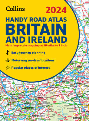
2024 Collins Handy Road Atlas Britain and Ireland
Collins Maps
- Reliure spiralée | Collins Road Atlas
- This easy-to-use, handy A5 sized road atlas with popular lie-flat spiral binding features extremely clear route planning maps of Britain and Ireland a... Savoir plus
8,45 €Livraison 1 à 2 semaines8,45 €Livraison 1 à 2 semaines -
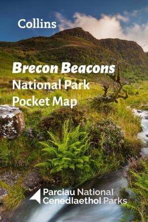
Brecon Beacons National Park Pocket Map
- Explore the National Parks with this handy pocket map. Handy little full colour map and guide of Bannau Brycheiniog (Brecon Beacons) National Park. De... Savoir plus
5,95 €Livraison 1 à 2 semaines5,95 €Livraison 1 à 2 semaines -
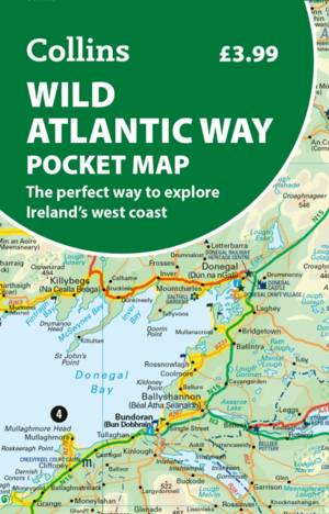
Wild Atlantic Way Pocket Map
- Explore new places with handy pocket maps from Collins. Handy full-colour map of Ireland’s Wild Atlantic Way with a high level of detail. Clear mappin... Savoir plus
5,95 €Pré-commander, disponible à partir du 12-02-20265,95 €Pré-commander, disponible à partir du 12-02-2026 -
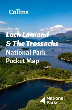
Loch Lomond and The Trossachs National Park Pocket Map
- Explore the National Parks with this handy pocket map. Handy little full colour map and guide of Loch Lomond National Park. Detailed mapping and visit... Savoir plus
5,95 €Livraison 1 à 2 semaines5,95 €Livraison 1 à 2 semaines -
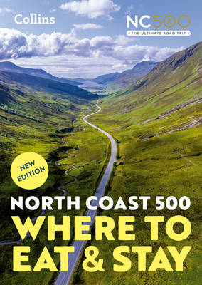
North Coast 500
Collins Maps
- Livre broché
- A guide to the best places to enjoy the local Scottish cuisine and where to rest for the night along the famous North Coast 500. Elemental, enchanting... Savoir plus
23,95 €Pré-commander, disponible à partir du 26-03-202623,95 €Pré-commander, disponible à partir du 26-03-2026 -
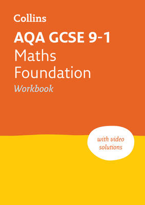
Aqa GCSE 9-1 Maths Foundation Workbook
Collins Maps
- Livre broché | Anglais | Collins GCSE Grade 9-1 Revision
- Targeted practice questions covering the GCSE grade 9-1 curriculum Savoir plus
8,95 €Livraison 1 à 2 semaines8,95 €Livraison 1 à 2 semaines -
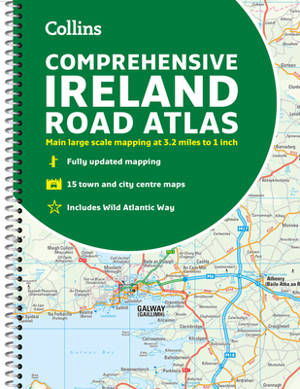
Comprehensive Road Atlas Ireland
Collins Maps
- Reliure spiralée | Anglais
- A clear, detailed road atlas of Ireland in a handy A4 spiral-bound format. This comprehensive, general purpose road atlas of the whole of Ireland is i... Savoir plus
13,95 €Livraison 1 à 2 semaines13,95 €Livraison 1 à 2 semaines -
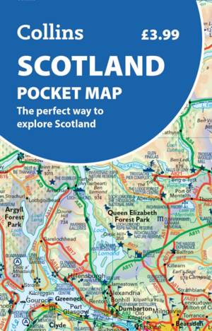
Scotland Pocket Map
- Handy little full colour map of Scotland. Excellent value and very detailed for its size. Double-sided folded map with the Central Belt, southern Scot... Savoir plus
5,95 €Pré-commander, disponible à partir du 09-04-20265,95 €Pré-commander, disponible à partir du 09-04-2026 -
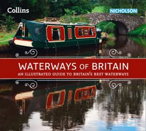
Waterways of Britain
Collins Maps
- Livre broché | Collins Nicholson Waterways Guides
- Exploring Britain's most beautiful waterways. Discover a hidden countryside which is packed with wildlife along with industrial heritage. Savoir plus
23,95 €Livraison 1 à 2 semaines23,95 €Livraison 1 à 2 semaines -
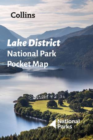
Lake District National Park Pocket Map
- Explore the National Parks with this handy pocket map. Handy little full colour map and guide of Lake District National Park. Detailed mapping and vis... Savoir plus
5,95 €Livraison 1 à 2 semaines5,95 €Livraison 1 à 2 semaines -
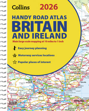
2026 Collins Handy Road Atlas Britain and Ireland
Collins Maps
- Reliure spiralée | Collins Road Atlas
- Explore Britain with easy-to-read mapping from Collins. Savoir plus
10,45 €Livraison 1 à 2 semaines10,45 €Livraison 1 à 2 semaines -
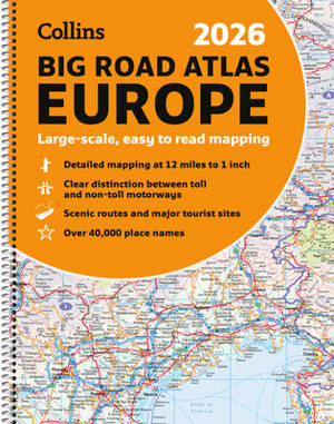
Collins 2026 Big Road Atlas Europe
Collins Maps
- Reliure spiralée
- With fully-updated, large-scale mapping, there has never been an easier way to explore Europe by road. Savoir plus
20,95 €Livraison 1 à 2 semaines20,95 €Livraison 1 à 2 semaines -
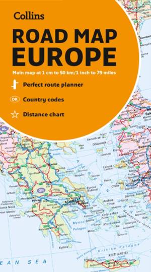
Collins Map of Europe
- Discover new places with handy maps from Collins. A fully revised and updated colour road map of Europe at a scale of 79 miles to 1 inch / 50km to 1cm... Savoir plus
11,95 €Livraison 1 à 2 semaines11,95 €Livraison 1 à 2 semaines