
- Retrait gratuit dans votre magasin Club
- 7.000.000 titres dans notre catalogue
- Payer en toute sécurité
- Toujours un magasin près de chez vous
- Retrait gratuit dans votre magasin Club
- 7.000.0000 titres dans notre catalogue
- Payer en toute sécurité
- Toujours un magasin près de chez vous


Résultats pour "Ordnance Survey"
-
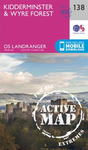
Kidderminster / Wyre Forest
- OS Landranger map 138 of Kidderminster & Wyre Forest also includes Bridgnorth, Abdon, Stanton Lacy, Bayton, Stoke Bliss, Brimfield, Ludlow, Highley, S... Savoir plus
24,50 €Livraison 1 à 2 semaines24,50 €Livraison 1 à 2 semaines -
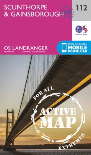
Scunthorpe / Gainsborough
- The Landranger map is an all purpose map packed full of information to help you really get to know an area. Each map covers an area of 40 km by 40 km ... Savoir plus
24,50 €Livraison 1 à 2 semaines24,50 €Livraison 1 à 2 semaines -
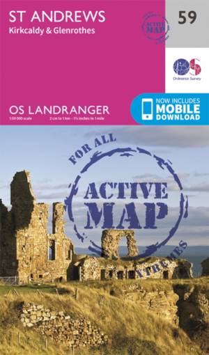
St-Andrews
- OS Landranger map 59 shows St Andrews, Kirkcaldy and Glenrothes between the Firth of Forth and the Firth of Tay. Savoir plus
24,50 €Livraison 1 à 2 semaines24,50 €Livraison 1 à 2 semaines -
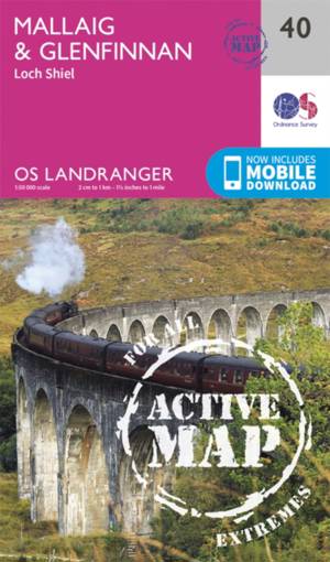
Mallaig / Glenfinnan
- The port of Mallaig is set along the famous Road to the Isles and is a great base to explore the Highlands and Loch Morar from. Set on the banks of Lo... Savoir plus
24,50 €Livraison 1 à 2 semaines24,50 €Livraison 1 à 2 semaines -
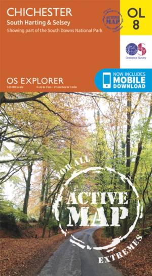
Chichester South Harting area
- OS Explorer map sheet OL 8 covers Chichester, South Harting, Selsey, Emsworth, Havant, Horndean, Midhurst and Wittering. Highlights of the area includ... Savoir plus
24,50 €Livraison 1 à 2 semaines24,50 €Livraison 1 à 2 semaines -

Birmingham / Walsall / Solihull / Redditch
- Map sheet number 220 in the OS Explorer series covers the area in the Midlands around Birmingham and Solihull. Covering from Walsall and the Forest of... Savoir plus
24,50 €Livraison 1 à 2 semaines24,50 €Livraison 1 à 2 semaines -
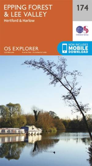
Epping Forest / Lee Valley
- Map sheet number 174 in the OS Explorer series covers Epping Forest and the area to the North East of London. The map area covered includes Hertford a... Savoir plus
18,50 €Livraison 1 à 2 semaines18,50 €Livraison 1 à 2 semaines -

Stroud / Tetbury / Malmesbury
- Map sheet number 168 in the OS Explorer series covers Stroud, Tetbury, Malmesbury, and Nailsworth. Highlights of the area include: Cotswolds AONB, Cot... Savoir plus
18,50 €Livraison 1 à 2 semaines18,50 €Livraison 1 à 2 semaines -
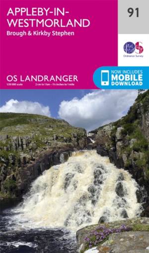
Appleby-in-Westmorland
- The Pennine Way and E2 European Long Distance Path along with the nearby Yorkshire Dales National Park feature on OS Landranger map 91, and attract wa... Savoir plus
18,50 €Livraison 1 à 2 semaines18,50 €Livraison 1 à 2 semaines -
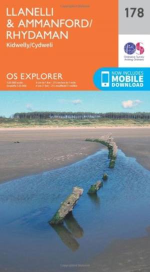
Llanelli / Ammanford / Rhydaman
- Map sheet number 178 covers Llanelli, Ammanford and Kidwelly. Highlights include Brecon Beacons National Park. Also includes Lliedi Resr, Gorseinon, B... Savoir plus
18,50 €Livraison 1 à 2 semaines18,50 €Livraison 1 à 2 semaines -
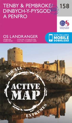
Tenby / Pembroke
- This OS Landranger map 158 of Tenby & Pembroke also includes Kilgetty, Freystrop, Yerbeston, Milford Haven, Wolfsdale, Llandissilio, the Pembrokeshire... Savoir plus
24,50 €Livraison 1 à 2 semaines24,50 €Livraison 1 à 2 semaines -
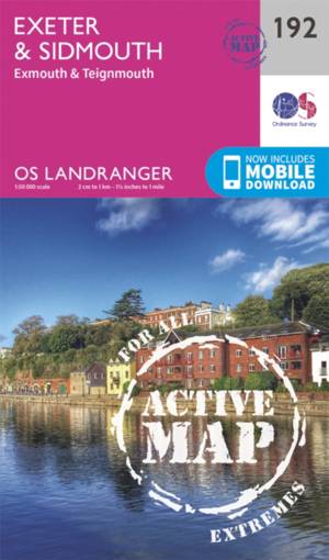
Exeter / Sidmouth / Exmouth
- Map sheet number 192 in the OS Landranger map series is the ideal map for planning days out and holidays to Exeter and Sidmouth. Explore the east of D... Savoir plus
24,50 €Livraison 1 à 2 semaines24,50 €Livraison 1 à 2 semaines -

Salisbury / The Plain
- Map sheet number 184 in the OS Landranger map series is perfect for planning days out in and around the Salisbury area. Wide open spaces are in abunda... Savoir plus
18,50 €Livraison 1 à 2 semaines18,50 €Livraison 1 à 2 semaines -
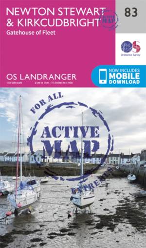
Newton Stewart / Kirkcudbright
- Newton Stewart sits at the geographical centre of the rolling Galloway Hills and Forest Park, and is shown on OS Landranger map 83. Savoir plus
24,50 €Livraison 1 à 2 semaines24,50 €Livraison 1 à 2 semaines -
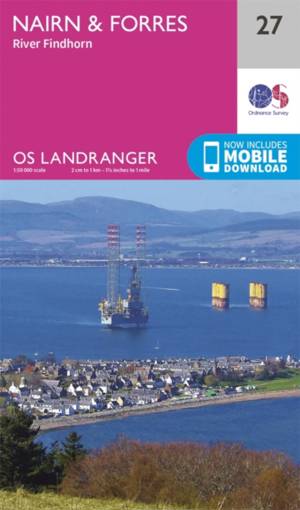
Nairn / Forres
- OS Landranger map 27 shows the Moray Firth, just east of Inverness. The Seaside town of Nairn is a popular holiday destination, or take the Moray Coas... Savoir plus
18,50 €Livraison 1 à 2 semaines18,50 €Livraison 1 à 2 semaines -
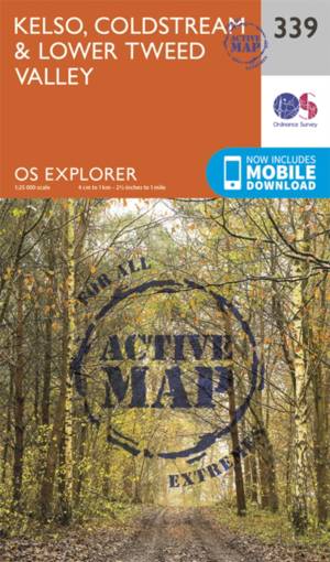
Kelso / Coldstream / lower Tweed Valley
- Kelso, Coldstream & lower Tweed Valley active exp gepl. Savoir plus
24,50 €Livraison 1 à 2 semaines24,50 €Livraison 1 à 2 semaines -
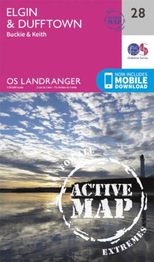
Elgin / Dufftown
- OS Landranger map 28 covers the area of Spey Bay on the Moray firth, including Elgin, Buckie, Dufftown, Burghhead, Keith, Charlestown of Aberlour and ... Savoir plus
24,50 €Livraison 1 à 2 semaines24,50 €Livraison 1 à 2 semaines -
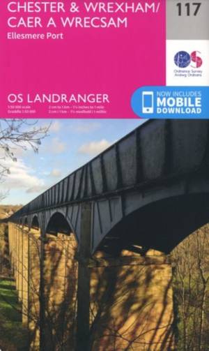
Chester / Wrexham
- Map number 117 in the OS Landranger map series covers an area from Llangollen in the south to Ellesmere Port in the north with Chester lying on the Ri... Savoir plus
18,50 €Livraison 1 à 2 semaines18,50 €Livraison 1 à 2 semaines -
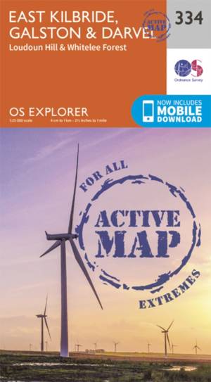
East Kilbride / Galston / Darvel
- East Kilbride, Galston & Darvel active exp gepl. Savoir plus
24,50 €Livraison 1 à 2 semaines24,50 €Livraison 1 à 2 semaines -

Islay
- The island of Islay is covered by OS Landranger map 60, including the 'capital', Port Ellen. Savoir plus
18,50 €Livraison 1 à 2 semaines18,50 €Livraison 1 à 2 semaines -
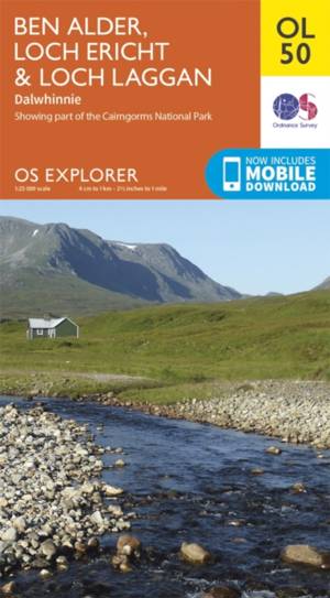
Ben Alder / Loch Ericht / Laggan
- OS Explorer map OL 50 shows Loch Ericht, Loch Laggan and 16 of the surrounding Munros, as well as part of the Cairngorms National Park. This map repla... Savoir plus
18,50 €Livraison 1 à 2 semaines18,50 €Livraison 1 à 2 semaines -
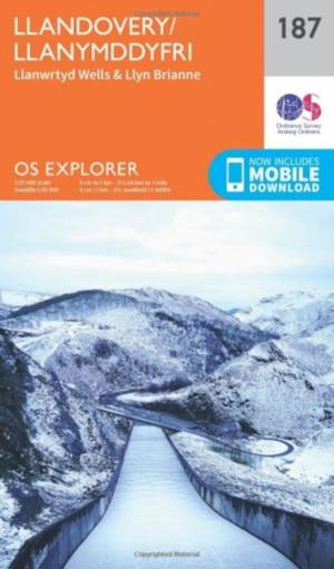
Llandovery
- OS Explorer map sheet 187 shows Claerwen Resevior to Tywi Forest and Llandovery. Savoir plus
18,50 €Livraison 1 à 2 semaines18,50 €Livraison 1 à 2 semaines -
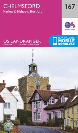
Chelmsford / Harlow
- Chelmsford is an accessible city in the heart of Essex. It has a bustling centre with plenty of shopping and dining facilities. Savoir plus
18,50 €Livraison 1 à 2 semaines18,50 €Livraison 1 à 2 semaines -
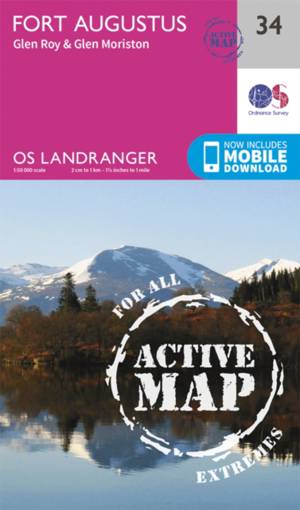
Fort Augustus
- Situated on the southern banks of the world famous Loch Ness, the charming village of Fort Augustus is surrounded by iconic Scottish landscape. Savoir plus
24,50 €Livraison 1 à 2 semaines24,50 €Livraison 1 à 2 semaines