- Retrait gratuit dans votre magasin Club
- 7.000.000 titres dans notre catalogue
- Payer en toute sécurité
- Toujours un magasin près de chez vous
- Retrait gratuit dans votre magasin Club
- 7.000.0000 titres dans notre catalogue
- Payer en toute sécurité
- Toujours un magasin près de chez vous
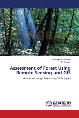
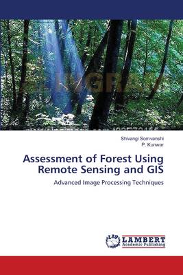
Assessment of Forest Using Remote Sensing and GIS
Advanced Image Processing Techniques
Shivangi Somvanshi, P Kunwar
Livre broché | Anglais
86,45 €
+ 172 points
Description
As remote sensing data and methods have become increasingly complex and varied - and increasingly reliable - so have their uses in forest assessment and management. New algorithms have been developed in virtually every aspect of image analysis, from classification to enhancements to estimating parameters. Assessment of forest using Remote Sensing and GIS reviews the literature and provides the tools for understanding and choosing remote sensing solutions for management problems. The book presents methods and operational examples of the use of image processing in forest change detection, forest classification, and forest growth modeling. The chapters discuss research issues and the future of remote sensing technologies. The author draws a comprehensive picture of the state of the art in remote sensing data and methods applicable to sustainable forest management issues.
Spécifications
Parties prenantes
- Auteur(s) :
- Editeur:
Contenu
- Nombre de pages :
- 172
- Langue:
- Anglais
Caractéristiques
- EAN:
- 9783659131356
- Date de parution :
- 17-05-12
- Format:
- Livre broché
- Format numérique:
- Trade paperback (VS)
- Dimensions :
- 152 mm x 229 mm
- Poids :
- 258 g

Les avis
Nous publions uniquement les avis qui respectent les conditions requises. Consultez nos conditions pour les avis.


