
- Retrait gratuit dans votre magasin Club
- 7.000.000 titres dans notre catalogue
- Payer en toute sécurité
- Toujours un magasin près de chez vous
- Retrait gratuit dans votre magasin Club
- 7.000.0000 titres dans notre catalogue
- Payer en toute sécurité
- Toujours un magasin près de chez vous


Description
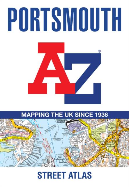
This A-Z map of Portsmouth is a full colour street atlas combining 54 pages of street mapping with a six page Guide to selected places of interest. Street map coverage includes: -Fareham-Gosport-Havant-Horndean-Waterlooville-Emsworth-Hayling Island-Portsea Island-Cosham-Lee-on-the-Solent-Stubbington-Portchester-insets of Wickham and Clanfield-Petersfeld (separate coverage)Also included is a large scale city centre map of Portsmouth.Postcode districts, one-way streets, safety camera locations with speed limits and the South Downs National Park boundary are featured on the mapping.The Places of Interest Guide is both informative and helpful, highlighting major tourist attractions in the area, from historic maritime to modern day landmarks.The index section lists streets, selected flats, walkways and places of interest, place, area and station names, hospitals and hospices covered by this atlas.
Spécifications
Parties prenantes
- Auteur(s) :
- Editeur:
Contenu
- Nombre de pages :
- 96
- Langue:
- Anglais
Caractéristiques
- EAN:
- 9780008445225
- Date de parution :
- 01-06-21
- Format:
- Livre broché
- Format numérique:
- Trade paperback (VS)
- Dimensions :
- 149 mm x 215 mm
- Poids :
- 122 g


Les avis
Nous publions uniquement les avis qui respectent les conditions requises. Consultez nos conditions pour les avis.