
- Retrait gratuit dans votre magasin Club
- 7.000.000 titres dans notre catalogue
- Payer en toute sécurité
- Toujours un magasin près de chez vous
- Retrait gratuit dans votre magasin Club
- 7.000.0000 titres dans notre catalogue
- Payer en toute sécurité
- Toujours un magasin près de chez vous


Livres écrits par A-Z Maps

-

Lake District Adventure Atlas
A-Z Maps
- Livre broché
- The A-Z Adventure Series of maps combines the best of OS and A-Z, creating the perfect companion for walkers, off-road cyclists, horse riders and anyo... Savoir plus
13,95 €Livraison 1 à 2 semaines13,95 €Livraison 1 à 2 semaines -
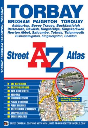
Torbay A-Z Street Atlas
A-Z Maps
- Livre broché
- This A-Z map of Torbay is a full colour street atlas and for the first time, features a places of interest guide. This publication has 34 pages of str... Savoir plus
6,95 €Livraison 1 à 2 semaines6,95 €Livraison 1 à 2 semaines -
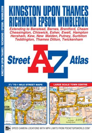
Kingston upon Thames and Richmond A-Z Street Atlas
A-Z Maps
- Livre broché
- This A-Z map of Kingston upon Thames, Richmond, Epsom and Wimbledon is a full colour street atlas featuring 32 pages of continuous street mapping and ... Savoir plus
8,45 €Livraison 1 à 2 semaines8,45 €Livraison 1 à 2 semaines -
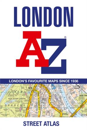
London A-Z Street Atlas
A-Z Maps
- Livre broché | Anglais
- First published in 1936, this iconic atlas is a trusted means of finding your way around the capital city. The main mapping extends beyond Central Lon... Savoir plus
12,95 €Livraison 1 à 2 semaines12,95 €Livraison 1 à 2 semaines -
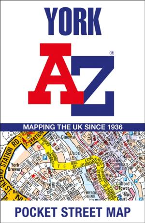
York A-Z Pocket Street Map
- Navigate your way around York with detailed street maps from A-Z Savoir plus
5,95 €Livraison 1 à 2 semaines5,95 €Livraison 1 à 2 semaines -
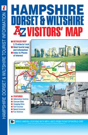
Hampshire, Dorset and Wiltshire A-Z Visitors' Map
- This A-Z Visitors' Map of Hampshire, Dorset and Wiltshire is a full colour, single sided sheet map. Featuring continuous road mapping from Oxford and ... Savoir plus
8,45 €Livraison 1 à 2 semaines8,45 €Livraison 1 à 2 semaines -
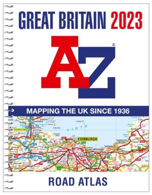
Great Britain A-Z Road Atlas 2023 (A4 Spiral)
A-Z Maps
- Reliure spiralée
- Find your way around Great Britain with this fully revised and updated road atlas. An A4-size, spiral bound, full colour road atlas, now fully revised... Savoir plus
18,45 €Livraison 1 à 2 semaines18,45 €Livraison 1 à 2 semaines -
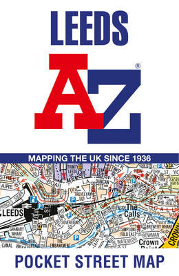
Leeds A-Z Pocket Street Map
- Navigate your way around Leeds with detailed street maps from A-Z Savoir plus
6,95 €Livraison 1 à 2 semaines6,95 €Livraison 1 à 2 semaines -
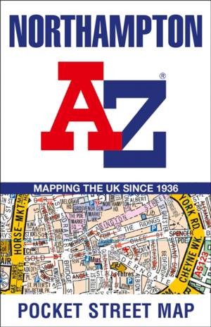
Northampton A-Z Pocket Street Map
- Navigate your way around Northampton with detailed street maps from A-Z Savoir plus
5,95 €Livraison 1 à 2 semaines5,95 €Livraison 1 à 2 semaines -
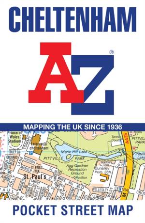
Cheltenham Pocket Street Map
A-Z Maps
- Livre relié | Anglais
- This up-to-date detailed A-Z street map includes more than 2,000 streets in and around Cheltenham. As well as the Cheltenham Racecourse, the other are... Savoir plus
5,95 €Livraison 1 à 2 semaines5,95 €Livraison 1 à 2 semaines -
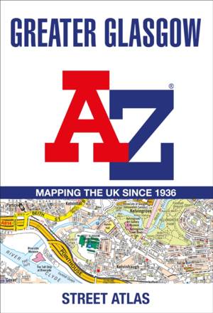
Greater Glasgow A-Z Street Atlas
A-Z Maps
- Livre broché | Anglais
- Navigate your way in and around Glasgow with this detailed and easy-to-use A-Z Street Atlas. Printed in full-colour, paperback format, this A4 atlas c... Savoir plus
23,95 €Livraison 1 à 2 semaines23,95 €Livraison 1 à 2 semaines -

Brighton A-Z Pocket Street Map
- Navigate your way around Brighton with detailed street maps from A-Z Savoir plus
5,95 €Livraison 1 à 2 semaines5,95 €Livraison 1 à 2 semaines -
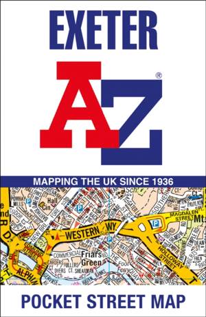
Exeter A-Z Pocket Street Map
- Navigate your way around Exeter with detailed street maps from A-Z Savoir plus
5,95 €Livraison 1 à 2 semaines5,95 €Livraison 1 à 2 semaines -
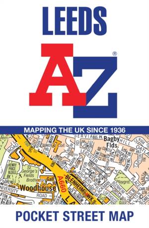
Leeds A-Z Pocket Street Map
- This up-to-date detailed A-Z street map includes 4,555 streets in and around Leeds. As well as the University of Leeds, the other areas covered are Hy... Savoir plus
5,95 €Livraison 1 à 2 semaines5,95 €Livraison 1 à 2 semaines -

A A-Z London Hidden Walks: Discover 20 Routes in and Around the City
A-Z Maps
- Livre broché | Anglais
- Discover hidden gems around London with 20 walking routes. Featuring 20 walks in and around the city, including lesser-known circuits and details on p... Savoir plus
9,95 €Livraison 1 à 2 semaines9,95 €Livraison 1 à 2 semaines -

Great Britain A-Z-Road Map
- A full-colour, single-sided, fold-out road map of Great Britain, featuring motorways, primary routes, 'A' Roads and a selection of other routes. Hill ... Savoir plus
8,45 €Livraison 1 à 2 semaines8,45 €Livraison 1 à 2 semaines -

A A-Z York Hidden Walks: Discover 20 Routes in and Around the City
A-Z Maps
- Livre broché | Anglais
- Discover hidden gems around York with 20 walking routes. Featuring 20 walks in and around the city, including lesser-known circuits and details on pop... Savoir plus
16,95 €Livraison 2 à 3 semaines16,95 €Livraison 2 à 3 semaines -
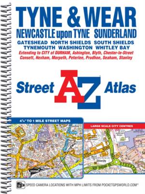
Tyne and Wear A-Z Street Atlas (spiral)
A-Z Maps
- Reliure spiralée
- This A-Z map of Tyne and Wear is a full colour, spiral bound street atlas featuring 180 pages of continuous street mapping covering:*Newcastle-upon-Ty... Savoir plus
18,45 €Livraison 1 à 2 semaines18,45 €Livraison 1 à 2 semaines -

A-Z Cambridge Hidden Walks
A-Z Maps
- Livre broché | Anglais
- Discover hidden gems around Cambridge with 20 walking routes. Featuring 20 walks in and around the city, including lesser-known circuits and details o... Savoir plus
9,95 €Livraison 1 à 2 semaines9,95 €Livraison 1 à 2 semaines -
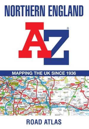
Northern England Regional A-Z Road Atlas
A-Z Maps
- Livre broché | Anglais
- Find your way around Northern England with this fully revised and updated road atlas. A full colour regional road atlas featuring 52 pages of road map... Savoir plus
11,45 €Livraison 1 à 2 semaines11,45 €Livraison 1 à 2 semaines -
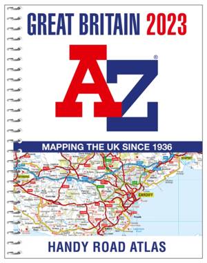
Great Britain A-Z Handy Road Atlas 2023 (A5 Spiral)
A-Z Maps
- Reliure spiralée
- The perfect compact road atlas to keep in your glove box. A compact A5-size full colour, spiral bound road atlas, now fully revised and updated. Clear... Savoir plus
12,95 €Livraison 1 à 2 semaines12,95 €Livraison 1 à 2 semaines -
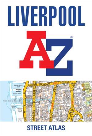
Liverpool A-Z Street Atlas
A-Z Maps
- Livre broché
- Navigate your way around Liverpool with this detailed and easy-to-use A-Z Street Atlas. Printed in full-colour, paperback format, this atlas contains ... Savoir plus
25,45 €Livraison 1 à 2 semaines25,45 €Livraison 1 à 2 semaines -
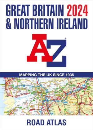
Great Britain & Northern Ireland A-Z Road Atlas 2024 (A3 Paperback)
A-Z Maps
- Livre broché
- A full-colour, paperback road atlas of Great Britain, now fully revised and updated. Clear detailed road mapping at a scale of 3.5 miles to 1 inch. Pr... Savoir plus
18,45 €Livraison 1 à 2 semaines18,45 €Livraison 1 à 2 semaines -
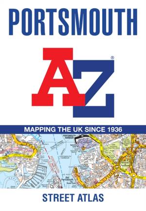
Portsmouth A-Z Street Atlas
A-Z Maps
- Livre broché | Anglais
- This A-Z map of Portsmouth is a full colour street atlas combining 54 pages of street mapping with a six page Guide to selected places of interest. St... Savoir plus
13,45 €Livraison 1 à 2 semaines13,45 €Livraison 1 à 2 semaines