
- Retrait gratuit dans votre magasin Club
- 7.000.000 titres dans notre catalogue
- Payer en toute sécurité
- Toujours un magasin près de chez vous
- Retrait gratuit dans votre magasin Club
- 7.000.0000 titres dans notre catalogue
- Payer en toute sécurité
- Toujours un magasin près de chez vous


59,95 €
+ 119 points
Description
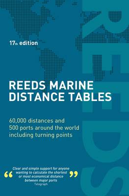
Reeds Marine Distance Tables are the perfect ready-reckoner for captains, navigators and owners of merchant and cruise ships large and small wanting a quick and accurate distance reference between all the regularly used commercial ports around the world. They are also of increasing value to the superyacht fleet.
The book is divided into key 'market areas', and includes a pull-out map for area identification and easy see-at-a-glance port reference. Traffic Separation Schemes are calculated into the tables whilst the distance to any port not included can easily be determined by making an approximation from the next closest port. Useful tables of major 'turning points' around the world (such as Cape Finisterre, Cape Horn and the Dover Straits), Transatlantic distances, world time zones, and time and speed conversion tables are also included. As well as incorporating general updates and improvements, this edition has been expanded to include distances for the Faroes, Shetlands and Orkneys. Freighter movements, cargo tonnage and cruise ship destinations have all been factored into considering details on the top ten busiest ports worldwide.Reeds Marine Distance Tables are an invaluable reference for ship owners, operators, brokers, navigators and superyacht skippers. Using this one reference, anyone can calculate the shortest or most economical distances between all the major ports in the world. 'A first class reference' Nautical Magazine 'Clear and simple support for anyone wanting to calculate the shortest or most economical distance between major ports' Telegraph
Spécifications
Parties prenantes
- Auteur(s) :
- Editeur:
Contenu
- Nombre de pages :
- 240
- Langue:
- Anglais
Caractéristiques
- EAN:
- 9781472990624
- Date de parution :
- 05-04-22
- Format:
- Livre broché
- Format numérique:
- Trade paperback (VS)
- Dimensions :
- 138 mm x 208 mm
- Poids :
- 385 g


Les avis
Nous publions uniquement les avis qui respectent les conditions requises. Consultez nos conditions pour les avis.