- Retrait gratuit dans votre magasin Club
- 7.000.000 titres dans notre catalogue
- Payer en toute sécurité
- Toujours un magasin près de chez vous
- Retrait gratuit dans votre magasin Club
- 7.000.0000 titres dans notre catalogue
- Payer en toute sécurité
- Toujours un magasin près de chez vous
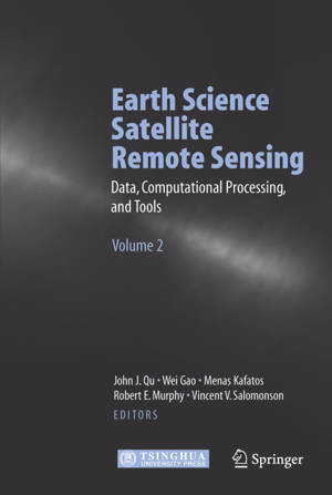
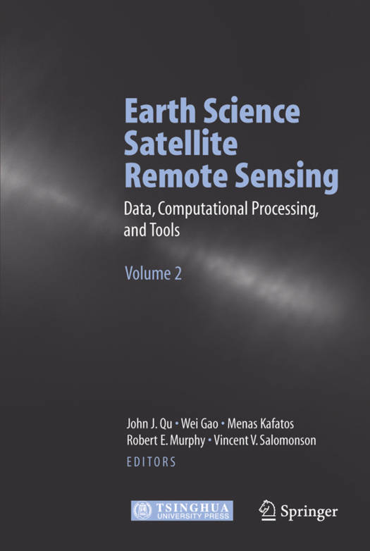
Earth Science Satellite Remote Sensing
Vol.2: Data, Computational Processing, and Tools
Description
Earth science satellite remote sensing has been rapidly expanding during the last decade. Volume 2 of this two volume monograph provides information on the Earth science remote sensing data information and data format such as HDF-EOS, and tools. It evaluates the current data processing approaches and introduces data searching and ordering from different public domains. Further it explores the remote sensing and GIS migration products and WebGIS applications. The core of this book arose from the workshop for Earth Science Satellite Remote Sensing held at George Mason University (GMU) in October 2002. Both volumes are designed to give scientists and graduate students with limited remote sensing background a thorough introduction to current and future NASA, NOAA and other Earth science remote sensing.
Spécifications
Parties prenantes
- Editeur:
Contenu
- Nombre de pages :
- 335
- Langue:
- Anglais
Caractéristiques
- EAN:
- 9783540356301
- Date de parution :
- 19-01-07
- Format:
- Livre relié
- Format numérique:
- Genaaid
- Dimensions :
- 160 mm x 234 mm
- Poids :
- 757 g

Les avis
Nous publions uniquement les avis qui respectent les conditions requises. Consultez nos conditions pour les avis.


