- Retrait gratuit dans votre magasin Club
- 7.000.000 titres dans notre catalogue
- Payer en toute sécurité
- Toujours un magasin près de chez vous
- Retrait gratuit dans votre magasin Club
- 7.000.0000 titres dans notre catalogue
- Payer en toute sécurité
- Toujours un magasin près de chez vous
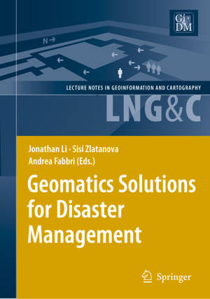
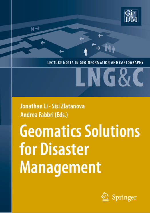
Geomatics Solutions for Disaster Management
Description
Natural and anthropogenic disasters have caused a large number of victims and significant social and economic losses in the last few years. There is no doubt that the risk prevention and disaster management sector needs drastic measures and improvements in order to decrease damage and save lives of inhabitants. Effective utilization of satellite positioning, remote sensing, and GIS in disaster monitoring and management requires research and development in numerous areas: data collection, access and delivery, information extraction and analysis, management and their integration with other data sources (airborne and terrestrial imagery, GIS data, etc.), data standardization, organizational and legal aspects of sharing of remote sensing information. This book provides researchers and practitioners with a good overview of what is being developed in this topical area.
Spécifications
Parties prenantes
- Editeur:
Contenu
- Nombre de pages :
- 444
- Langue:
- Anglais
- Collection :
Caractéristiques
- EAN:
- 9783540721062
- Date de parution :
- 03-05-07
- Format:
- Livre relié
- Format numérique:
- Genaaid
- Dimensions :
- 166 mm x 236 mm
- Poids :
- 898 g

Les avis
Nous publions uniquement les avis qui respectent les conditions requises. Consultez nos conditions pour les avis.


