- Retrait gratuit dans votre magasin Club
- 7.000.000 titres dans notre catalogue
- Payer en toute sécurité
- Toujours un magasin près de chez vous
- Retrait gratuit dans votre magasin Club
- 7.000.0000 titres dans notre catalogue
- Payer en toute sécurité
- Toujours un magasin près de chez vous
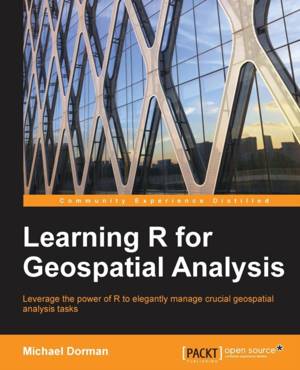
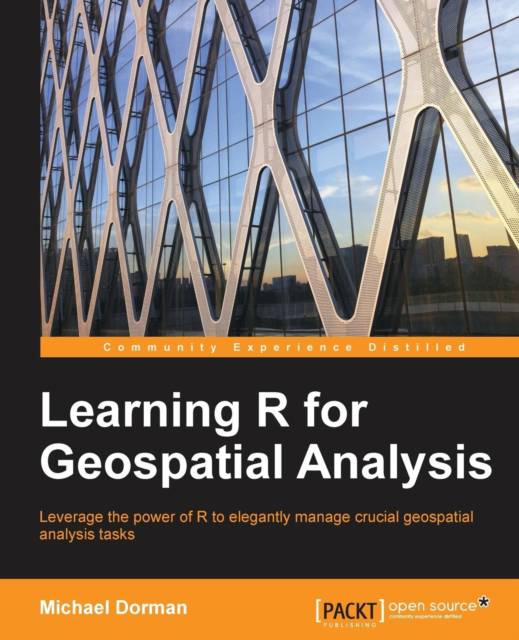
Learning R for Geospatial Analysis
Leverage the power of R to elegantly manage crucial geospatial analysis tasks
Michael DormanDescription
Leverage the power of R to elegantly manage crucial geospatial analysis tasks
Key Features
- Write powerful R scripts to manipulate your spatial data
- Gain insight from spatial patterns utilizing R's advanced computation and visualization capabilities
- Work within a single spatial analysis environment from start to finish
Book Description
R is a simple, effective, and comprehensive programming language and environment that is gaining ever-increasing popularity among data analysts.
This book provides you with the necessary skills to successfully carry out complete geospatial data analyses, from data import to presentation of results.
Learning R for Geospatial Analysis is composed of step-by-step tutorials, starting with the language basics before proceeding to cover the main GIS operations and data types. Visualization of spatial data is vital either during the various analysis steps and/or as the final product, and this book shows you how to get the most out of R's visualization capabilities. The book culminates with examples of cutting-edge applications utilizing R's strengths as a statistical and graphical tool.
What you will learn
- Make inferences from tables by joining, reshaping, and aggregating
- Familiarize yourself with the R geospatial data analysis ecosystem
- Prepare reproducible, publication-quality plots and maps
- Efficiently process numeric data, characters, and dates
- Reshape tabular data into the necessary form for the specific task at hand
- Write R scripts to automate the handling of raster and vector spatial layers
- Process elevation rasters and time series visualizations of satellite images
- Perform GIS operations such as overlays and spatial queries between layers
- Spatially interpolate meteorological data to produce climate maps
Spécifications
Parties prenantes
- Auteur(s) :
- Editeur:
Contenu
- Nombre de pages :
- 364
- Langue:
- Anglais
Caractéristiques
- EAN:
- 9781783984367
- Date de parution :
- 28-12-14
- Format:
- Livre broché
- Format numérique:
- Trade paperback (VS)
- Dimensions :
- 190 mm x 235 mm
- Poids :
- 625 g

Les avis
Nous publions uniquement les avis qui respectent les conditions requises. Consultez nos conditions pour les avis.


