- Retrait gratuit dans votre magasin Club
- 7.000.000 titres dans notre catalogue
- Payer en toute sécurité
- Toujours un magasin près de chez vous
- Retrait gratuit dans votre magasin Club
- 7.000.0000 titres dans notre catalogue
- Payer en toute sécurité
- Toujours un magasin près de chez vous
Description
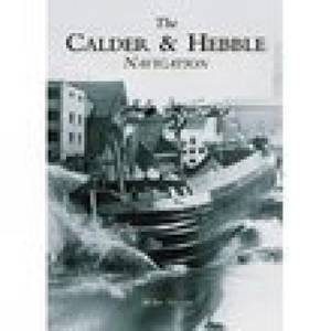
The River Calder rises in the Pennines north of Todmorden and flows to Sowerby Bridge and Salterhebble, where it receives the Hebble Brook. The river then flows through Elland, Brighouse, Mirfield and Dewsbury before reaching the Aire Calder Navigation at Wakefield. The river was made navigable in the 1770s and soon after, with the construction of the Rochdale, Huddersfield and Huddersfield Narrow canals, became part of the Mersey-Humber trade routes. Trade was brisk for many years but by the 1940s the canal was in decline; the Halifax branch was closed and surrounding canals abandoned. However, commecial traffic on the navigation soldiered on till 1981, when shipments to Thornhill Power Station ceased. Illustrated within the pages of the Calder Hebble Navigation are over 200 images of canal boats (both horse-drawn and motor-powered), items of canal furniture and activity on the navigation's many wharfs
Spécifications
Parties prenantes
- Auteur(s) :
- Editeur:
Contenu
- Nombre de pages :
- 128
- Langue:
- Anglais
Caractéristiques
- EAN:
- 9780752427553
- Date de parution :
- 01-08-02
- Format:
- Livre broché
- Format numérique:
- Trade paperback (VS)
- Dimensions :
- 165 mm x 231 mm
- Poids :
- 272 g

Les avis
Nous publions uniquement les avis qui respectent les conditions requises. Consultez nos conditions pour les avis.


