- Retrait gratuit dans votre magasin Club
- 7.000.000 titres dans notre catalogue
- Payer en toute sécurité
- Toujours un magasin près de chez vous
- Retrait gratuit dans votre magasin Club
- 7.000.000 titres dans notre catalogue
- Payer en toute sécurité
- Toujours un magasin près de chez vous


24,45 €
+ 48 points
Description
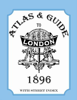
This wonderful historic guide with maps will delight anyone who loves London, delights in old maps, or seeks information about late nineteenth-century England. Some of its contents include general statistical information such as area and population in 1891, lists of "chief places of interest and amusement," such as art and picture galleries, museums, churches, theatres, music halls, markets, restaurants, railway termini and stations, principal London clubs and suburban resorts. The plates include a bird's-eye view map of central London, maps of London County Council and Parliamentary divisions, postal districts, a railway map of central London and of London and its suburbs, and nine street maps. The remaining maps show the area from the Thames to Windsor, and the environs of London. All this is followed by a general index to the streets, which guides the reader to the map pages and coordinates. First published in 1896, this facsimile edition contains some of the original advertisements.
Spécifications
Parties prenantes
- Auteur(s) :
- Editeur:
Contenu
- Nombre de pages :
- 54
- Langue:
- Anglais
Caractéristiques
- EAN:
- 9780953646173
- Date de parution :
- 01-04-13
- Format:
- Livre broché
- Format numérique:
- Trade paperback (VS)
- Dimensions :
- 216 mm x 279 mm
- Poids :
- 149 g