
- Retrait gratuit dans votre magasin Club
- 7.000.000 titres dans notre catalogue
- Payer en toute sécurité
- Toujours un magasin près de chez vous
- Retrait gratuit dans votre magasin Club
- 7.000.0000 titres dans notre catalogue
- Payer en toute sécurité
- Toujours un magasin près de chez vous


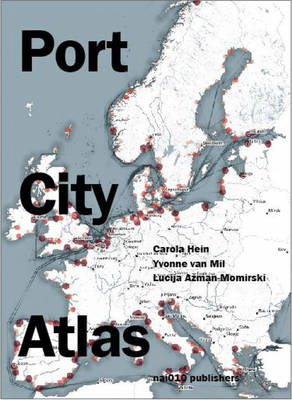
Port City Atlas
Mapping European Port City Territories: From Understanding to Design
Carola Hein, Yvonne van Mil, Lucija Azman-Momirski
Livre broché | Anglais
67,95 €
+ 135 points
Description
A cartographic guide to Europe's seaport infrastructure
A multitude of port cities dot Europe's coastline, each with its own history and relationship to sea transportation and development. In the era of climate change, these cities can offer paradigms and guidance for sustainable development. Taking a comprehensive, map-based approach, Port City Atlas offers visualizations of 100 port city territories located on four seas and connected through shared waters--from Amsterdam, Antwerp, Barcelona, Bilbao, Bordeaux, Bremen, Calais, Cork, Dover, Dublin, Felixstowe, Fredericia, Ghent, Hamburg, Helsinki, Kiel, Københavns and La Rochelle to Limerick, Liverpool, London, Lübeck, Malmø, Palermo, Ravenna, Riga, Rønne, Rotterdam, Sköldvik, Stockholm, Tallinn, Venice, Zeebrugge and countless others.
Conceived as a reference work, Port City Atlas provides a foundation for comparative analysis beyond the case-study approach, offering a uniquely sea-oriented take on the understanding and urban design of Europe.
Spécifications
Parties prenantes
- Auteur(s) :
- Editeur:
Contenu
- Nombre de pages :
- 320
- Langue:
- Anglais
Caractéristiques
- EAN:
- 9789462087422
- Date de parution :
- 03-10-23
- Format:
- Livre broché
- Format numérique:
- Trade paperback (VS)
- Dimensions :
- 175 mm x 231 mm
- Poids :
- 816 g

Les avis
Nous publions uniquement les avis qui respectent les conditions requises. Consultez nos conditions pour les avis.