- Retrait gratuit dans votre magasin Club
- 7.000.000 titres dans notre catalogue
- Payer en toute sécurité
- Toujours un magasin près de chez vous
- Retrait gratuit dans votre magasin Club
- 7.000.000 titres dans notre catalogue
- Payer en toute sécurité
- Toujours un magasin près de chez vous


Description
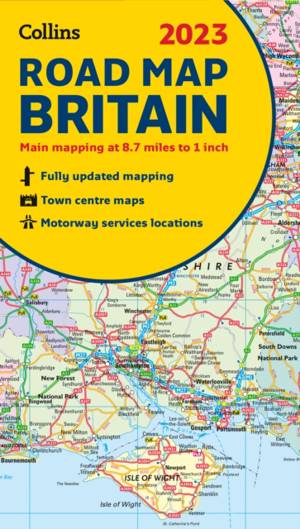
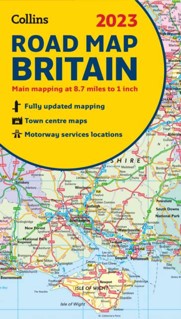
Full color double-sided map of Great Britain at 8.7 miles to 1 inch (1:550,000), with clear, detailed road network and administrative areas shown in color. With its political coloring of counties and unitary authorities it is ideal for business users but it is also perfect for tourists as a route planning map. Main features:
- Fully updated- Counties and local council areas shown in color- Clear, detailed road network- Town and city names, rivers, railway lines and canals are clearly shown- 16 city/town center street plans- Index to place names- Mileage chart- Car ferry routes- Key in English, French, and German Area of coverage. Double-sided road map covering the whole of Britain. Northern England, Scotland and the Isle of Man are on one side with Southern England and Wales on the other.
- Fully updated- Counties and local council areas shown in color- Clear, detailed road network- Town and city names, rivers, railway lines and canals are clearly shown- 16 city/town center street plans- Index to place names- Mileage chart- Car ferry routes- Key in English, French, and German Area of coverage. Double-sided road map covering the whole of Britain. Northern England, Scotland and the Isle of Man are on one side with Southern England and Wales on the other.
Spécifications
Parties prenantes
- Auteur(s) :
- Editeur:
Contenu
- Nombre de pages :
- 2
- Langue:
- Anglais
- Collection :
Caractéristiques
- EAN:
- 9780008447847
- Date de parution :
- 01-11-22
- Format:
- Livre broché
- Format numérique:
- Trade paperback (VS)
- Dimensions :
- 140 mm x 245 mm
- Poids :
- 150 g